Enable Location

We need your location to show you interesting places around you

Discover nearby places

Find interesting locations and hidden gems around you

Precise directions

Get accurate directions and distances to places

Your location is never shared with other users. It's only used when you tap the location button.

Nanda Khat

Log in to your account

Join the adventure

Create your free account and start exploring (like 60k+ others)

We will send you a code to connect

or
Continue with Google
Continue with Apple
By continuing, you accept our Terms and Conditions and our Privacy Policy

Check your inbox

We've sent a pincode in your inbox. Please enter the code below.

Nanda Khat

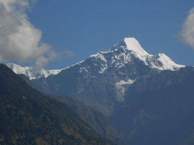
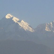
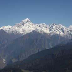
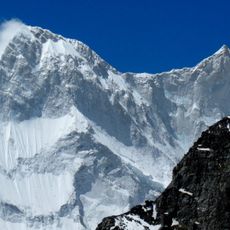
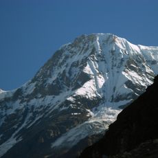
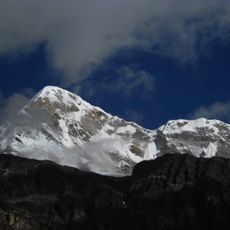
Nanda Khat, Mountain summit in Bageshwar district, India.

Description

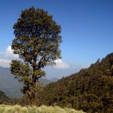
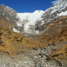
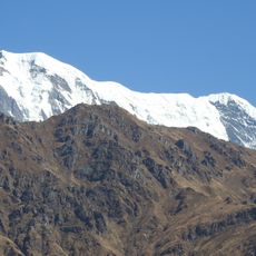
Nanda Khat is a mountain summit in the Kumaun Himalaya region, standing at approximately 6,600 meters elevation. Glaciers dominate the eastern side, while steep slopes and shifting snowfields characterize the terrain.

History

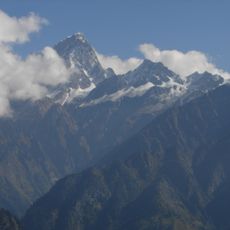
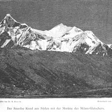
The mountain was first documented as climbed in 1931 when Hugh Ruttledge reached the summit with PN Choudhary and porter Pansingh. This ascent forms part of the early exploration of higher peaks in this Himalayan region.

Culture

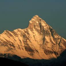
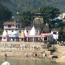
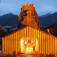
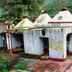
The mountain holds meaning in local mountain traditions and is regarded as a sacred site by residents of the region. This reverence shapes how people today relate to and think about the peaks around them.

Practical

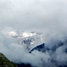
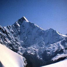
The route requires mountaineering experience at high elevation and specialized equipment such as ice axes and crampons. Visitors should prepare for variable weather, thin air, and extended acclimatization periods.

Did you know?

A climbing team completed the round trip to the summit and back in under a full day, demonstrating the relative accessibility of this peak compared to higher neighboring summits. This faster ascent is often pursued by experienced mountaineers seeking to climb multiple peaks in sequence.

Location
Joshimath Tehsil
Elevation above the sea
6,611 m
GPS coordinates
30.30175,79.97835
Latest update
December 14, 2025 16:44

AroundUs brings together thousands of curated places, local tips, and hidden gems, enriched daily by 60,000 contributors worldwide. Discover all places nearby (Joshimath Tehsil).

« Nanda Khat - Mountain summit in Bageshwar district, India » is provided by Around Us (aroundus.com). Images and texts are derived from Wikimedia project under a Creative Commons license. You are allowed to copy, distribute, and modify copies of this page, under the conditions set by the license, as long as this note is clearly visible.

Discover hidden gems everywhere you go!

From secret cafés to breathtaking viewpoints, skip the crowded tourist spots and find places that match your style. Our app makes it easy with voice search, smart filtering, route optimization, and insider tips from travelers worldwide. Download now for the complete mobile experience.

Around Us App Screenshot

A unique approach to discovering new places

Le Figaro

All the places worth exploring

France Info

A tailor-made excursion in just a few clicks

20 Minutes

Around Us
Travel Guide & Maps
Download

Send to your phone

QR Code
1

Open the camera app on your mobile.

2

Point at the QR code with your camera. A notification will appear.

3

Tap the notification to open the link.