Bageshwar district, Administrative district in Kumaon division, India.
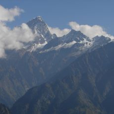
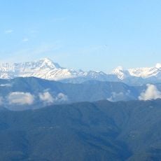
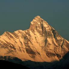
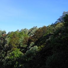
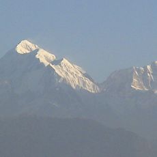
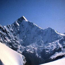
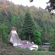
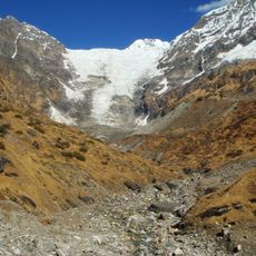
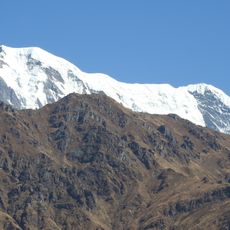
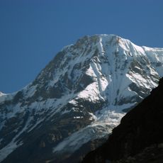
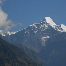
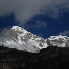
Bageshwar district is an administrative region in the Kumaon division spanning mountainous landscape where the Pindar and Saryu rivers shape the terrain through their valleys. Four administrative tehsils comprise this territory, connected by National Highway 309A linking its main towns and settlements.
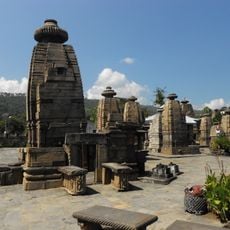
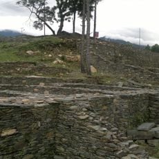
This region was once part of the Danpur territory under Katyuri rule during the 7th century. It gained separate administrative status in 1997 when it became an independent district.
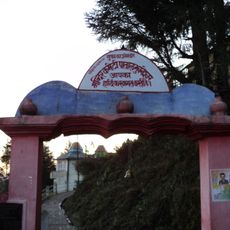
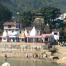
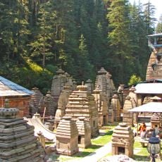
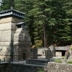
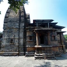
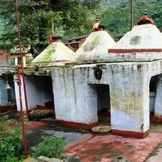
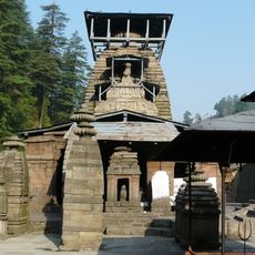
The region holds deep religious meaning for its communities, particularly at the river confluence where people gather for prayers and celebrations rooted in Hindu traditions that shape everyday life here.
The region is well connected through established road networks that allow movement across its hilly terrain and between neighboring districts. Travelers should prepare for changing weather conditions typical of mountainous areas and expect varying road conditions depending on the season.
The region has an unusual gender composition with more females than males, which sets it apart from most other areas across the country. This demographic characteristic reflects specific migration patterns and population structures found in local communities here.
Location: Kumaon division
Capital city: Bageshwar
Shares border with: Chamoli district
Website: http://bageshwar.nic.in
GPS coordinates: 29.85000,79.77000
Latest update: December 7, 2025 19:31
Nanda Devi
61.7 km
Kumaon division
28.6 km
Nanda Devi National Park
63.8 km
Patal Bhuvaneshwar
16.7 kmGolu Devata Udepur
11.7 km
Binsar Wildlife Sanctuary
48.3 km
Trisul
51.6 km
3.6m Devasthal Optical Telescope
55.1 km
Pindari Glacier
55.4 km
Bagnath Temple
5.3 km
Nanda Kot
55.9 km
Binsar Devta
61.5 km
Devasthal Observatory
55 km
Kafni Glacier
49.4 km
Nanda Ghunti
55.7 km
Baijnath Temple Complex
36.1 km
Naina Devi Himalayan Bird Conservation Reserve
60.8 km
Changuch
55.6 km
Nanda Khat
54.1 km
Panwali Dhar
52.1 km
Jageshwar Temple Complex
25 km
Raj Bhawan, Governor House, Nainital, Uttarakhand, India
61 km
Dandeshwar Temple
25.5 km
Imperial Bacteriological Laboratory
43.4 km
Fort with walls and ruins of dwelling house inside it and with flights of steps
64.7 km
Three temples of the Indo-Aryan shikara type known as Lakshmi Narayan, Rakshas Deval and Satya Narayan
34 km
Kulsari Temple
40.2 km
Mrityunjaya Temple
25 kmVisited this place? Tap the stars to rate it and share your experience / photos with the community! Try now! You can cancel it anytime.
Discover hidden gems everywhere you go!
From secret cafés to breathtaking viewpoints, skip the crowded tourist spots and find places that match your style. Our app makes it easy with voice search, smart filtering, route optimization, and insider tips from travelers worldwide. Download now for the complete mobile experience.
A unique approach to discovering new places❞
— Le Figaro
All the places worth exploring❞
— France Info
A tailor-made excursion in just a few clicks❞
— 20 Minutes