Enable Location

We need your location to show you interesting places around you

Discover nearby places

Find interesting locations and hidden gems around you

Precise directions

Get accurate directions and distances to places

Your location is never shared with other users. It's only used when you tap the location button.

Almora district

Log in to your account

Start exploring — it's free

Trusted by 62,490 travelers worldwide

Continue with Google
Continue with Apple
or

We will send you a code to connect

By continuing, you accept our Terms and Conditions and our Privacy Policy

Check your inbox

We've sent a pincode in your inbox. Please enter the code below.

Almora district, Mountain district in Kumaon division, India

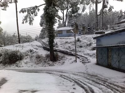
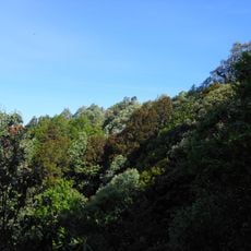
Almora district spreads across mountain ridges throughout the Kumaon division, featuring dense forests and scattered settlements. The terrain shows varied vegetation types that change as elevation rises.

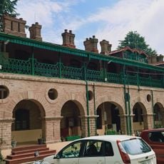
The district became a British colonial headquarters in 1815 following the Anglo-Gorkha war. This decision shaped the regional structure and settlement patterns for decades afterward.

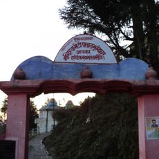
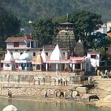
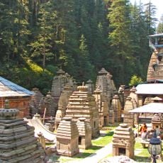
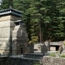
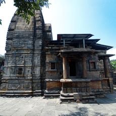
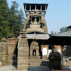
Local people practice Kumaoni traditions through handicrafts and seasonal mountain festivals that remain part of daily life. These customs shape how communities gather and celebrate throughout the year.

Getting there is easiest through Kathgodam railway station, which connects the region to larger cities. From the station, local transport reaches the scattered settlements within the district.

The area supports leopards and black bears across its different elevation zones, from lowland forests to high mountain areas. This range of habitats is less noticed by visitors who focus only on one settlement.

The community of curious travelers

AroundUs brings together thousands of curated places, local tips, and hidden gems, enriched daily by 60,000 contributors worldwide.

Start exploring
Location
Capital city
Almora
Elevation above the sea
1,646 m
Shares border with
Pauri Garhwal district, Champawat district
GPS coordinates
29.59718,79.65700
Latest update
December 19, 2025 22:26
« Almora district - Mountain district in Kumaon division, India » is provided by Around Us (aroundus.com). Images and texts are derived from Wikimedia project under a Creative Commons license. You are allowed to copy, distribute, and modify copies of this page, under the conditions set by the license, as long as this note is clearly visible.

Discover hidden gems everywhere you go!

From secret cafés to breathtaking viewpoints, skip the crowded tourist spots and find places that match your style. Our app makes it easy with voice search, smart filtering, route optimization, and insider tips from travelers worldwide. Download now for the complete mobile experience.

Around Us App Screenshot

A unique approach to discovering new places

Le Figaro

All the places worth exploring

France Info

A tailor-made excursion in just a few clicks

20 Minutes

Around Us
Travel Guide & Maps
Download

Send to your phone

QR Code
1

Open the camera app on your mobile.

2

Point at the QR code with your camera. A notification will appear.

3

Tap the notification to open the link.