Enable Location

We need your location to show you interesting places around you

Discover nearby places

Find interesting locations and hidden gems around you

Precise directions

Get accurate directions and distances to places

Your location is never shared with other users. It's only used when you tap the location button.

Pithoragarh district

Log in to your account

Start exploring — it's free

Trusted by 62,492 travelers worldwide

Continue with Google
Continue with Apple
or

We will send you a code to connect

By continuing, you accept our Terms and Conditions and our Privacy Policy

Check your inbox

We've sent a pincode in your inbox. Please enter the code below.

Pithoragarh district

Pithoragarh district, Administrative district in Uttarakhand, India

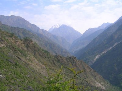
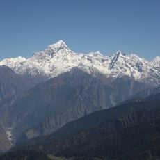
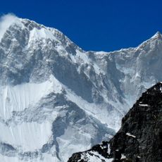
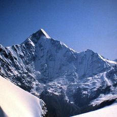
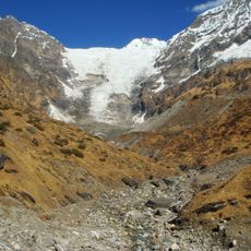
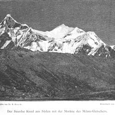
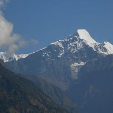
Pithoragarh is a district located in eastern Uttarakhand, covering mountainous terrain with valleys and alpine meadows that rise toward the Tibet border. The area is organized into eight administrative blocks encompassing many villages spread across the varied landscape.

The district was established as an independent administrative unit in 1960, separating from Almora in the period following the end of British colonial rule. This reorganization of boundaries reflected the reshaping of India's administrative divisions after independence.

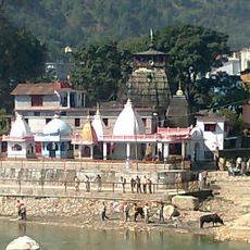
The Kandali Festival occurs every twelve years in the Chaudans region, gathering residents for traditional worship ceremonies and community feasts.

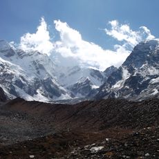
The best time to visit is from May to October when weather conditions are more stable and mountain passes remain more accessible. The high altitude and hilly terrain can affect visitors accustomed to lower elevations, so gradual adjustment and proper preparation are helpful.

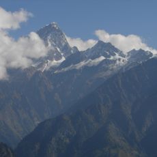
An ancient pilgrimage network passes through here that Hindus use to reach sacred mountains like Kailash, with Lipulekh Pass serving as a major crossing to Tibet. This historic route connects valleys and villages across borderland shared between two nations.

The community of curious travelers

AroundUs brings together thousands of curated places, local tips, and hidden gems, enriched daily by 60,000 contributors worldwide.

Start exploring
Location
Inception
1960s
Capital city
Pithoragarh
Shares border with
Chamoli district
GPS coordinates
29.40000,80.00000
Latest update
December 17, 2025 11:09
« Pithoragarh district - Administrative district in Uttarakhand, India » is provided by Around Us (aroundus.com). Images and texts are derived from Wikimedia project under a Creative Commons license. You are allowed to copy, distribute, and modify copies of this page, under the conditions set by the license, as long as this note is clearly visible.

Discover hidden gems everywhere you go!

From secret cafés to breathtaking viewpoints, skip the crowded tourist spots and find places that match your style. Our app makes it easy with voice search, smart filtering, route optimization, and insider tips from travelers worldwide. Download now for the complete mobile experience.

Around Us App Screenshot

A unique approach to discovering new places

Le Figaro

All the places worth exploring

France Info

A tailor-made excursion in just a few clicks

20 Minutes

Around Us
Travel Guide & Maps
Download

Send to your phone

QR Code
1

Open the camera app on your mobile.

2

Point at the QR code with your camera. A notification will appear.

3

Tap the notification to open the link.