Enable Location

We need your location to show you interesting places around you

Discover nearby places

Find interesting locations and hidden gems around you

Precise directions

Get accurate directions and distances to places

Your location is never shared with other users. It's only used when you tap the location button.

Log in to your account

Start exploring — it's free

Trusted by 63,154 travelers worldwide

Continue with Google
Continue with Apple
or

We will send you a code to connect

By continuing, you accept our Terms and Conditions and our Privacy Policy

Check your inbox

We've sent a pincode in your inbox. Please enter the code below.

Koderma district
Discussion Reviews Photo
21.3k Popularity

Koderma district, Administrative district in North Chotanagpur division, India

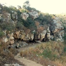
Koderma is an administrative district in the North Chotanagpur division with forests at its borders and three rivers flowing through it: the Barakar, Barsoi, and Sakri. It is organized into six administrative blocks, with Jhumri Telaiya being the largest town.

The district was created in 1994 from the division of the former Hazaribagh district and quickly became a major center for mica mining in India. This mining industry shaped the region's economic importance and growth.

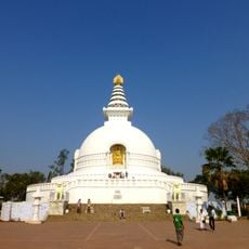
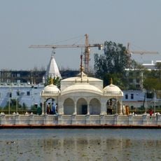
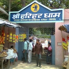
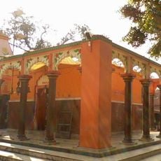
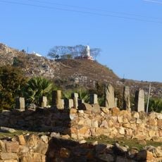
The Dhawajadhari Pahar hill holds a shrine where people gather to honor Shiva during the Mahashivratri festival. These pilgrimages reflect how the local communities connect their spiritual life to the landscape around them.

The district is sparsely populated and can be explored using different forms of transport, with towns like Jhumri Telaiya serving as reference points. The climate is tropical, and travel is most comfortable during the cooler months outside the monsoon season.

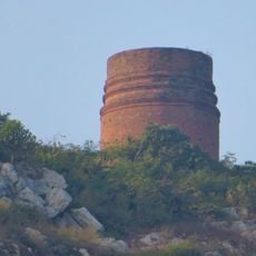
The region holds large deposits of mica and is often regarded as a center of India's mica industry, with mines scattered throughout the landscape. Beyond mica, there are also deposits of quartz, feldspar, asbestos, and various types of stone that shape the area.

The community of curious travelers

AroundUs brings together thousands of curated places, local tips, and hidden gems, enriched daily by 60,000 contributors worldwide.

Start exploring
Capital city
Kodarma
Shares border with
Gaya district
GPS coordinates
24.47000,85.59000
Latest update
December 22, 2025 11:53
Reviews
Share your experience

No review yet

Discussions
Start a discussion...

No discussion yet

« Koderma district - Administrative district in North Chotanagpur division, India » is provided by Around Us (aroundus.com). Images and texts are derived from Wikimedia project under a Creative Commons license. You are allowed to copy, distribute, and modify copies of this page, under the conditions set by the license, as long as this note is clearly visible.

Discover hidden gems everywhere you go!

From secret cafés to breathtaking viewpoints, skip the crowded tourist spots and find places that match your style. Our app makes it easy with voice search, smart filtering, route optimization, and insider tips from travelers worldwide. Download now for the complete mobile experience.

Around Us App Screenshot

A unique approach to discovering new places

Le Figaro

All the places worth exploring

France Info

A tailor-made excursion in just a few clicks

20 Minutes

Around Us
Travel Guide & Maps
Download

Send to your phone

QR Code
1

Open the camera app on your mobile.

2

Point at the QR code with your camera. A notification will appear.

3

Tap the notification to open the link.