Kullu district, Administrative district in Himachal Pradesh, India
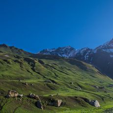
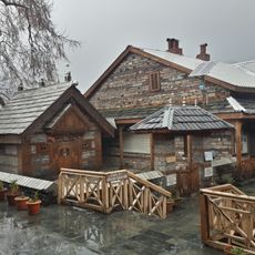
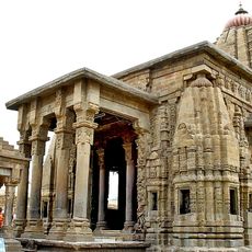
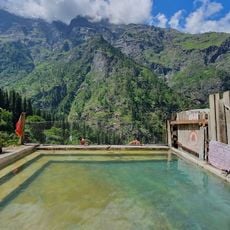
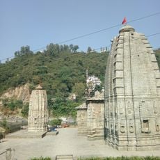
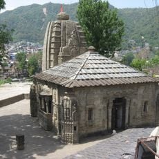
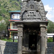
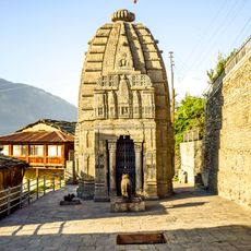
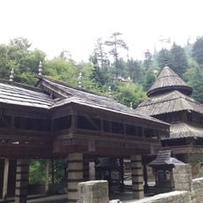
Kullu district spreads across the Himalayas and is shaped by the Beas River, which flows through multiple valleys from lower elevations to high peaks. The region features green slopes, scattered villages, and temples dotting the landscape throughout.
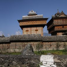
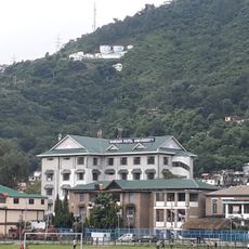
The region was once the heart of an independent kingdom and later came under British administrative control. The district headquarters moved from the hilltop settlement of Naggar to the valley floor in the 17th century, shaping administration ever since.
The Dussehra festival draws deities from temples across the region to gather at Dhalpur meadows for a week of celebrations filled with traditional music and dancing. People from surrounding villages come together to honor their local gods through these performances and rituals.
The Atal Tunnel connects the district via National Highway 3, while Bhuntar Airport offers air access and buses travel through the valleys. A personal vehicle or organized transport works best for exploring since mountain roads are winding.
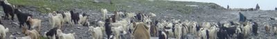
The district contains several distinct river valleys like Parvati, Sainj, and Tirthan, each with its own character and villages. These valleys are known for traditional weaving and fruit farming, which form the backbone of local livelihood.
The community of curious travelers
AroundUs brings together thousands of curated places, local tips, and hidden gems, enriched daily by 60,000 contributors worldwide.