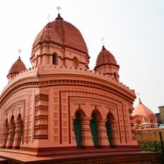
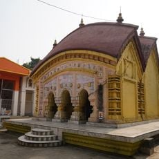
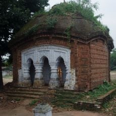
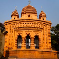
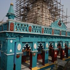
Jamtara district, Administrative district in Santhal Pargana division, India.
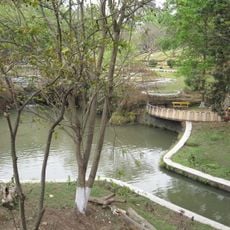
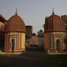
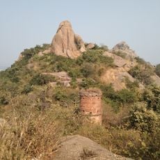
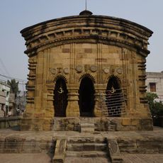
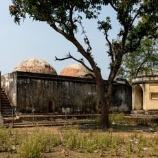
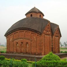
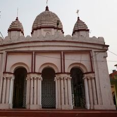
Jamtara is an administrative district in the Santhal Pargana region of Jharkhand that stretches across agricultural lands and forest areas. The landscape combines cultivated fields, rural settlements, and wooded zones that shape how residents live and work.
This district took its present administrative form in 2000 when Jharkhand separated from Bihar and Jamtara became the district headquarters. This reorganization was part of a larger administrative shift that reshaped the region.
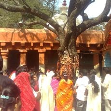
The Santhal people shape daily life here through their own language Santali and other local languages like Khorta and Bengali. Visitors encounter these linguistic traditions in everyday interactions and see how they define the region's identity.
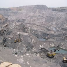
This district serves as a trade hub for the agricultural region and connects several surrounding districts including Godda, Deoghar, Dumka, and Pakur. Visitors find a network of connections to neighboring areas that makes exploring the broader region easier.
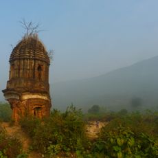
The Chinese traveler Xuanzang recorded his journey through this region in the 7th century and left detailed accounts of the people he encountered. His reports offer a rare historical view of life here from an outside perspective.
Location: Santhal Pargana division
Capital city: Jamtara
Shares border with: Giridih district
Website: http://jamtara.nic.in
GPS coordinates: 23.96000,86.80000
Latest update: December 7, 2025 20:22
Jharia coalfield
45.1 km
Garh Panchkot
40.2 km
Kalyaneshwari Temple
20.6 km
Nehru Park, Burnpur
39.3 km
Ghaghar Burhi temple
37.3 km
Temple of Banda
46.6 km
Begunia temple complex
25 km
Garh Panchakot Pancharatna temple
39.5 km
Radhamadhab temple of Sarkar family
56.2 km
Sikatiya Bridge
20.3 km
Gopinathjiu temple of Handa family
57.1 km
Shiva Rekha Deul temple
57.6 km
Twin Shiva temple of Handa family
57 km
Joychandipahar semaphore tower
50.3 km
Bishnu temple
30.5 km
Adi Kalyaneswari temple
39.5 km
Raghunath temple of Choubey family
32.6 km
Raghunath temple
40 km
Lakshminrayan temple of Sarakar family Mejotaraf
56.1 km
Madangopal temple
36 km
Hamam
52.3 km
BK-1
35 km
Temples in Bishnupur
57.6 km
Rajnagar Imambara
52.2 km
Rasmancha of Radhamadhab temple of Sarkar family
56.2 km
Sita-Rama temple of Handa family
57.1 km
Barudghar
52.3 km
Asansol station building
34.9 kmVisited this place? Tap the stars to rate it and share your experience / photos with the community! Try now! You can cancel it anytime.
Discover hidden gems everywhere you go!
From secret cafés to breathtaking viewpoints, skip the crowded tourist spots and find places that match your style. Our app makes it easy with voice search, smart filtering, route optimization, and insider tips from travelers worldwide. Download now for the complete mobile experience.
A unique approach to discovering new places❞
— Le Figaro
All the places worth exploring❞
— France Info
A tailor-made excursion in just a few clicks❞
— 20 Minutes