Lutyens' Delhi, Administrative quarter in New Delhi, India
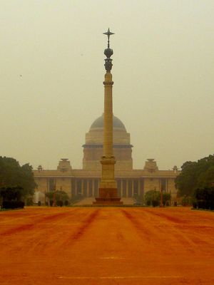
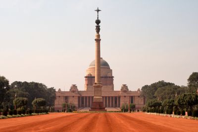
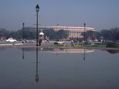
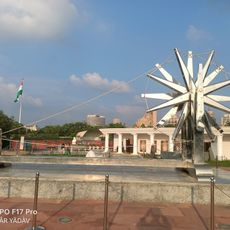
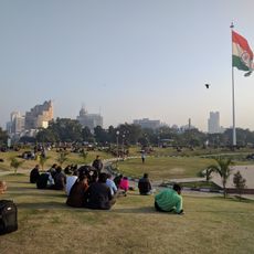
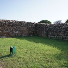
This quarter lies at the center of New Delhi and extends over several kilometers with formal gardens, monuments, and administrative buildings in red sandstone and marble. The main axes run east to west, with Rajpath as the broad central avenue flanked by government complexes and leading to green spaces and embassy neighborhoods.
The layout was drawn up from 1911 after the British government decided to leave Calcutta as capital and build a new city. The main buildings were completed by 1931, shortly before the Indian independence struggle reached its final phase and power relations shifted.
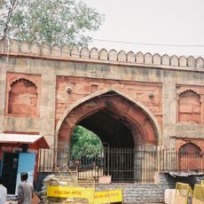
The name honors the British architect whose layout still guides the arrangement of roads and buildings, though many structures now serve as ministries and embassies after independence. Visitors see wide avenues with old trees, fountains, and open squares that recall European capitals but decorated with local motifs carved in stone and relief.
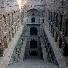
Many areas are closed to the public, so it is best to focus on accessible monuments and main avenues that can be walked freely. Early mornings or late afternoons are more comfortable as heat eases and fewer official vehicles circulate.
All major buildings sit along an imaginary diagonal axis aligned with sunrise during the winter solstice, merging ancient astronomical principles with modern city planning. This alignment was a deliberate gesture meant to link the symbolic importance of light in Indian tradition with imperial power.
The community of curious travelers
AroundUs brings together thousands of curated places, local tips, and hidden gems, enriched daily by 60,000 contributors worldwide.