Enable Location

We need your location to show you interesting places around you

Discover nearby places

Find interesting locations and hidden gems around you

Precise directions

Get accurate directions and distances to places

Your location is never shared with other users. It's only used when you tap the location button.

Anantnag district

Log in to your account

Save your favorite places
Create custom travel routes
Rate and review places
Access the full interactive map
Continue with Google
Continue with Apple
Continue with email
By continuing, you accept our Terms and Conditions and our Privacy Policy
Create an account
Add to collection
Map
Suggest a change
Share

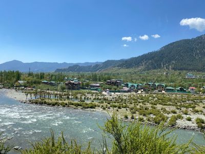
Anantnag district, Administrative district in Kashmir Valley, India

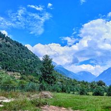
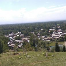
Anantnag is an administrative district in Kashmir Valley with diverse topography that encompasses numerous villages and smaller administrative units across its area. It is connected by major national highways and contains both rural and semi-urban settlements.

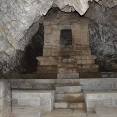
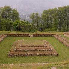
The name comes from the Sanskrit word 'Anantanaga' referring to ancient springs mentioned in classical texts with connections to local mythology. The region has been part of Kashmir Valley's historical development over centuries.

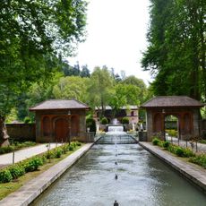
The district is shaped by communities whose daily life reflects Kashmiri heritage through local crafts and seasonal celebrations. People maintain connections to their surroundings through practices that have evolved over generations within the valley.

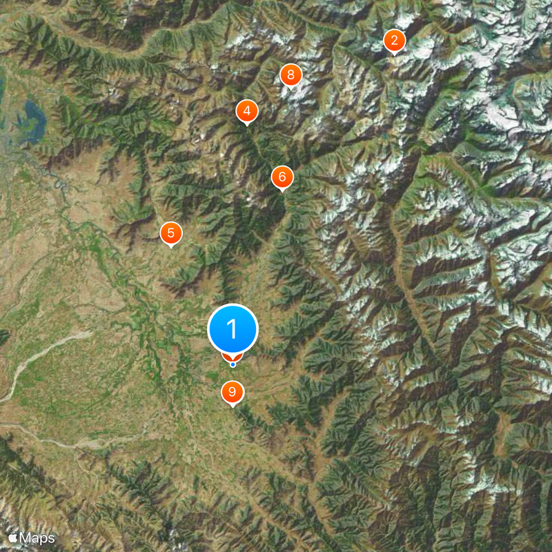
The district is accessible through major national highways that connect to other parts of the region, with rail connections and proximity to a major airport. Visitors should prepare for variable weather conditions, especially in higher elevations and mountainous areas.

The district implements a program that connects local officials directly with rural communities to strengthen their participation in decision-making. This initiative builds better communication between different administrative levels.

Location: Kashmir division

Capital city: Anantnag

Shares border with: Srinagar district, Doda district

Website: http://anantnag.gov.in

GPS coordinates: 33.74568,75.22038

Latest update: December 20, 2025 02:03

Photos
Reviews

Visited this place? Tap the stars to rate it and share your experience / photos with the community! Try now! You can cancel it anytime.

« Anantnag district - Administrative district in Kashmir Valley, India » is provided by Around Us (aroundus.com). Images and texts are derived from Wikimedia project under a Creative Commons license. You are allowed to copy, distribute, and modify copies of this page, under the conditions set by the license, as long as this note is clearly visible.

Discover hidden gems everywhere you go!

From secret cafés to breathtaking viewpoints, skip the crowded tourist spots and find places that match your style. Our app makes it easy with voice search, smart filtering, route optimization, and insider tips from travelers worldwide. Download now for the complete mobile experience.

Around Us App Screenshot

A unique approach to discovering new places

Le Figaro

All the places worth exploring

France Info

A tailor-made excursion in just a few clicks

20 Minutes