Enable Location

We need your location to show you interesting places around you

Discover nearby places

Find interesting locations and hidden gems around you

Precise directions

Get accurate directions and distances to places

Your location is never shared with other users. It's only used when you tap the location button.

Log in to your account

Start exploring — it's free

Trusted by 64,556 travelers worldwide

Continue with Google
Continue with Apple
or

We will send you a code to connect

By continuing, you accept our Terms and Conditions and our Privacy Policy

Check your inbox

We've sent a pincode in your inbox. Please enter the code below.

Diamond Harbour I community development block
Discussion Reviews Photo
4.6k Popularity

Diamond Harbour I community development block, Community development block in Diamond Harbour subdivision, West Bengal, India

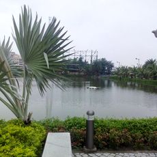
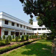
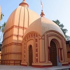
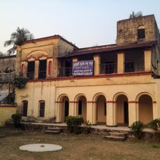
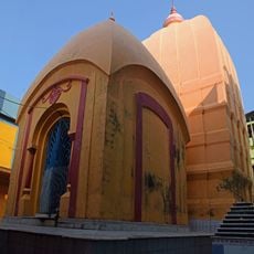
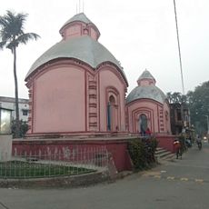
Diamond Harbour I is a community development block in the Diamond Harbour subdivision of West Bengal, India, situated along the western bank of the Hooghly River. It covers a rural area made up of several villages surrounded by farmland and river landscape.

The block was created as part of India's rural development program launched in 1952, which introduced a network of administrative units across the countryside. This structure brought together government services under a single local framework for the first time in the region.

Village life in this block follows the rhythm of farming seasons, with local markets and seasonal festivals shaping daily routines. During harvest time, community gatherings become more frequent and visible across the rural settlements.

The block is most easily reached from Diamond Harbour town via local village roads. Since the area is rural and spread across several settlements, asking locals for directions when heading to a specific village is a good idea.

Farmers here often grow several different crops on the same land across the year, rotating between Aman paddy, Boro paddy, jute, and other plants depending on the season. This means the fields look completely different from one month to the next, offering a changing rural landscape throughout the year.

The community of curious travelers

AroundUs brings together thousands of curated places, local tips, and hidden gems, enriched daily by 60,000 contributors worldwide.

Start exploring
Elevation above the sea
8 m
GPS coordinates
22.19101,88.19047
Latest update
March 3, 2026 08:12
Reviews
Share your experience

No review yet

Discussions
Start a discussion...

No discussion yet

« Diamond Harbour I community development block - Community development block in Diamond Harbour subdivision, West Bengal, India » is provided by Around Us (aroundus.com). Images and texts are derived from Wikimedia project under a Creative Commons license. You are allowed to copy, distribute, and modify copies of this page, under the conditions set by the license, as long as this note is clearly visible.

Discover hidden gems everywhere you go!

From secret cafés to breathtaking viewpoints, skip the crowded tourist spots and find places that match your style. Our app makes it easy with voice search, smart filtering, route optimization, and insider tips from travelers worldwide. Download now for the complete mobile experience.

Around Us App Screenshot

A unique approach to discovering new places

Le Figaro

All the places worth exploring

France Info

A tailor-made excursion in just a few clicks

20 Minutes

Around Us
Travel Guide & Maps
Download

Send to your phone

QR Code
1

Open the camera app on your mobile.

2

Point at the QR code with your camera. A notification will appear.

3

Tap the notification to open the link.