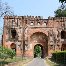
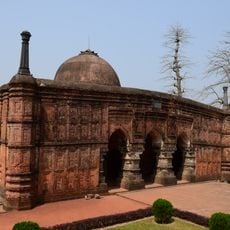
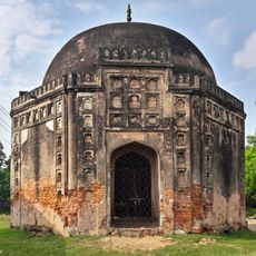
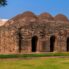
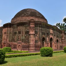
Farakka community development block, Community development block in Jangipur subdivision, West Bengal, India.
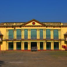
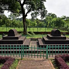
Farakka community development block is an administrative division within Jangipur subdivision in the state of West Bengal, India. It covers flat lowland terrain near the Ganges river system and is made up of a number of small villages surrounded by farmland.
The area became widely known after a major barrage on the Ganges was put into operation in 1975, which led to long-running disputes over water sharing between India and Bangladesh. Water management has remained central to how the region is perceived and discussed ever since.
Bengali is the main language spoken across the villages here, and daily life follows the rhythm of farming seasons and local markets. During festivals, outdoor celebrations and processions give visitors a direct look at how communities mark the year.
The villages here are connected by local roads, and the easiest way to get around is by using shared transport or a bicycle. Starting out in the morning is a good idea, as afternoon heat can make travel tiring.
A large thermal power station operates within this block and is one of the more visible landmarks from the riverbank, standing out against the flat surrounding land. Many households in the nearby villages have a family member working at this facility, making it a central part of local daily life.
The community of curious travelers
AroundUs brings together thousands of curated places, local tips, and hidden gems, enriched daily by 60,000 contributors worldwide.