Indian Himalayan Region, Mountain range system in northern India.
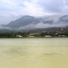
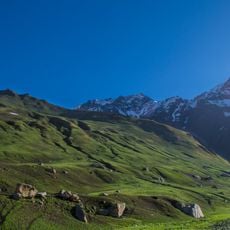
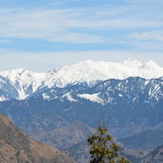
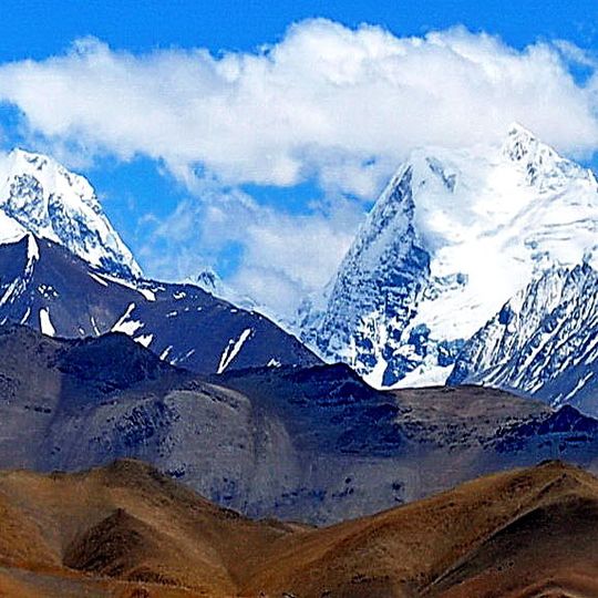
The Indian Himalayan Region is a mountain range system in northern India that stretches across thirteen states and forms three successive chains. From north to south, the Himadri, Himachal, and Sivaliks follow one another, each shaping the landscape with a different range of elevations.
In 1590, Antonio Monserrate produced the first accurate maps of the mountain region while working at the Mughal court. His work helped later explorers and travelers understand the topography better.
Multiple ethnic groups maintain their distinct traditions across various elevations, from the Ladakhi communities in the north to the Garhwali people in central areas.
Passes like Khardung La and Fatu La connect valleys and allow travel between remote mountain communities. They are most accessible during the warmer months, when snow and ice no longer block the way.
The mountain system feeds several major rivers, including the Indus, Sutlej, and Brahmaputra, which flow through deep gorges toward the plains. Their waters supply broad regions throughout the year.
The community of curious travelers
AroundUs brings together thousands of curated places, local tips, and hidden gems, enriched daily by 92,632 contributors worldwide.