Enable Location

We need your location to show you interesting places around you

Discover nearby places

Find interesting locations and hidden gems around you

Precise directions

Get accurate directions and distances to places

Your location is never shared with other users. It's only used when you tap the location button.

Log in to your account

Start exploring — it's free

Trusted by 63,016 travelers worldwide

Continue with Google
Continue with Apple
or

We will send you a code to connect

By continuing, you accept our Terms and Conditions and our Privacy Policy

Check your inbox

We've sent a pincode in your inbox. Please enter the code below.

Kushmandi community development block
Discussion Reviews Photo
2.9k Popularity

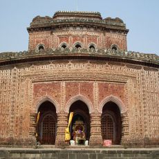
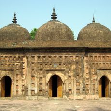
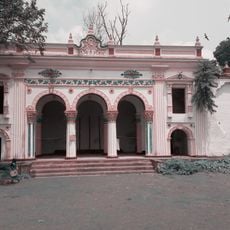
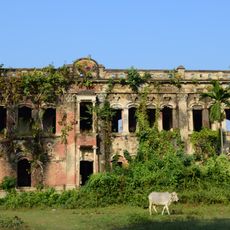
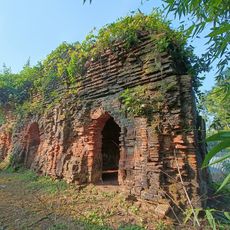
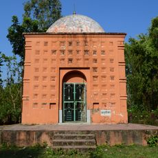
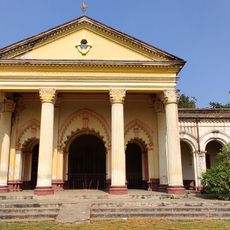
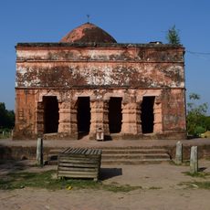
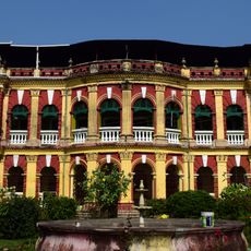
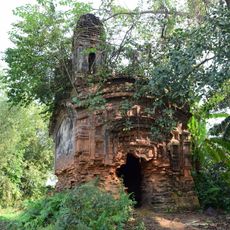
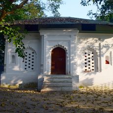
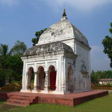
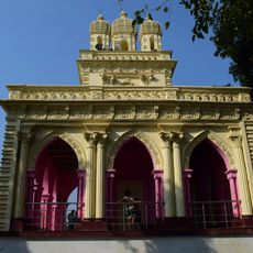
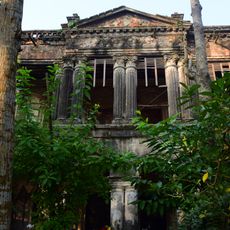
Kushmandi community development block, Administrative division in Gangarampur, India.

Kushmandi is an administrative block in Gangarampur subdivision within Dakshin Dinajpur district in West Bengal. The region contains multiple inhabited villages and local governance structures that organize the rural area.

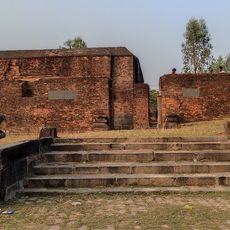
After the Radcliffe Line partition of 1947, parts of the Dinajpur district were transferred to East Pakistan. Administrative reorganization followed the division between India and Pakistan.

The population includes Hindu and Muslim communities, and Bengali is the primary language spoken here. Santali and Rajbongshi speakers also live in the region, reflecting its linguistic diversity.

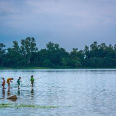
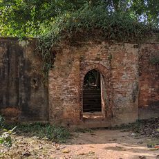
The region is primarily agricultural, with rice, jute, and potatoes as major crops. Visitors should expect typical rural infrastructure that varies depending on the season and local conditions.

Local craftspeople in Mahishbathan create detailed masks from Gamari wood using traditional techniques. These masks blend folk art with mythological imagery and demonstrate the skilled craftsmanship found in the area.

The community of curious travelers

AroundUs brings together thousands of curated places, local tips, and hidden gems, enriched daily by 60,000 contributors worldwide.

Start exploring
Shares border with
Kaliaganj community development block, Itahar community development block, Harirampur community development block, Bansihari community development block, Gangarampur community development block
GPS coordinates
25.52236,88.35727
Latest update
December 12, 2025 14:26
Reviews
Share your experience

No review yet

Discussions
Start a discussion...

No discussion yet

« Kushmandi community development block - Administrative division in Gangarampur, India » is provided by Around Us (aroundus.com). Images and texts are derived from Wikimedia project under a Creative Commons license. You are allowed to copy, distribute, and modify copies of this page, under the conditions set by the license, as long as this note is clearly visible.

Discover hidden gems everywhere you go!

From secret cafés to breathtaking viewpoints, skip the crowded tourist spots and find places that match your style. Our app makes it easy with voice search, smart filtering, route optimization, and insider tips from travelers worldwide. Download now for the complete mobile experience.

Around Us App Screenshot

A unique approach to discovering new places

Le Figaro

All the places worth exploring

France Info

A tailor-made excursion in just a few clicks

20 Minutes

Around Us
Travel Guide & Maps
Download

Send to your phone

QR Code
1

Open the camera app on your mobile.

2

Point at the QR code with your camera. A notification will appear.

3

Tap the notification to open the link.