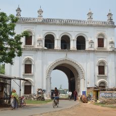
Naoda community development block, Administrative block in Berhampur subdivision, India
Naoda is an administrative block in the Berhampur subdivision of West Bengal, covering a rural region composed of multiple villages and settlements. The area is equipped with basic services including a rural hospital, several health centers, and schools that serve the local population.
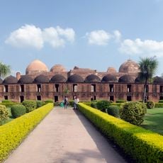
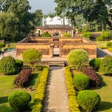
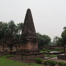
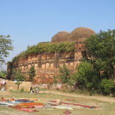
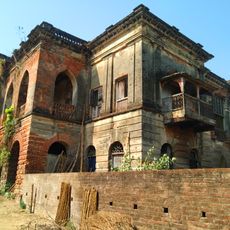
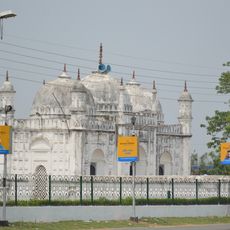
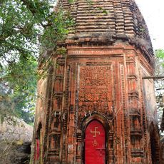
The region was historically part of Murshidabad, a center of silk production and trade during medieval times. This connection to earlier commercial activity shaped the development of the area.
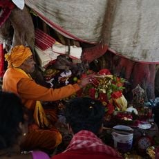
Bengali is spoken in daily life across the villages and settlements, shaping how people communicate and connect with one another. The local community maintains traditions through festivals, crafts, and the continued use of their language in all aspects of daily interactions.
The block is accessible by roads connecting the various villages and enabling access to local services. Visitors should be prepared for a rural setting where amenities may be limited and travel between settlements takes time.
Groundwater in the area naturally contains arsenic at levels that affect water quality for residents. This environmental issue shapes daily life and health considerations for the community.
Location: Berhampur subdivision
Shares border with: Domkal community development block, Hariharpara community development block, Beldanga I community development block, Beldanga II community development block, Karimpur II community development block, Tehatta I community development block, Tehatta II community development block
GPS coordinates: 23.89800,88.40700
Latest update: December 12, 2025 09:04
Katra Masjid
34.1 km
Krishnath College
27.1 km
Bethuadahari Wildlife Sanctuary
33.5 km
Khushbagh
33.1 km
Jahan Kosha cannon
33.8 km
Palashi Monument
20 km
Motijheel Jama Mosque
32.2 km
Cossimbazar Palace of Roys
28.7 km
Juranpur Satipith
29.9 km
Dutch Cemetery
28.9 km
Residency Cemetery
26.5 km
St. Mary Armenian Church
29.2 km
Fauti Mosque
34.5 km
Natun Bagchi Bari
27.9 km
Tomb of Mir Madan
19.5 km
White mosque
34.6 km
Siraj ud-Daulah's grave
32.9 km
Dayamoyee Kali temple
29.5 km
Mujibnagar Complex Museum
34.1 km
Annapurna temple of Singha Ray family
31.1 km
Nizamat Fort South Gate
34.4 km
Krishna Ray temple
22.4 km
Three Charchala temples
34.6 km
Byaspur Shiva temple
28.6 km
Kalagni Rudradev temple
34 km
Durga dalan of Bagchi family
27.9 km
Ghosh Chowdhury Zamindar house
19.6 km
Bagchi Bari
27.9 kmVisited this place? Tap the stars to rate it and share your experience / photos with the community! Try now! You can cancel it anytime.
Discover hidden gems everywhere you go!
From secret cafés to breathtaking viewpoints, skip the crowded tourist spots and find places that match your style. Our app makes it easy with voice search, smart filtering, route optimization, and insider tips from travelers worldwide. Download now for the complete mobile experience.
A unique approach to discovering new places❞
— Le Figaro
All the places worth exploring❞
— France Info
A tailor-made excursion in just a few clicks❞
— 20 Minutes