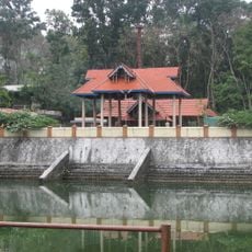
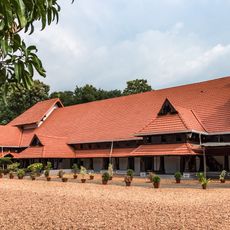
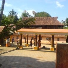
Naranganam Grama Panchayat, Rural administrative center in Pathanamthitta district, India.
Naranganam Grama Panchayat is a rural administrative unit in Pathanamthitta district with fourteen electoral wards that form a unified governance area. This structure allows locally elected representatives to oversee development projects and manage daily affairs for the people who live there.
This administrative unit emerged as part of Kerala's panchayat system, which has structured local governance and rural development for many decades. The system reflects India's approach to decentralized administration and strengthening communities at the grassroots level.
The community practices traditional farming methods that shape daily life and work in the surrounding fields. Local farmer organizations help residents share knowledge and support each other in their agricultural activities.
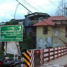
The location is best reached on foot or using local transportation, as it lies in a rural setting with narrow winding roads. Visitors should expect challenging road conditions during monsoon season and ask local residents for directions, since signage may be limited.
The area borders forest zones, leading to regular encounters between farmers and wildlife that shape how the community manages its fields. This reality makes farming here distinctive, as residents adapt their cultivation methods to the proximity of nature.
The community of curious travelers
AroundUs brings together thousands of curated places, local tips, and hidden gems, enriched daily by 60,000 contributors worldwide.