Samserganj community development block, Community development block in Jangipur subdivision, West Bengal, India.
Samserganj community development block is a rural administrative unit in Jangipur subdivision, West Bengal, made up of several villages and small settlements along the Ganges. The land is largely agricultural, with paddy fields and small markets forming the backbone of daily life across the area.
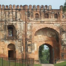
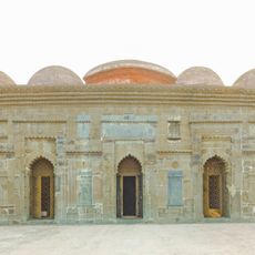
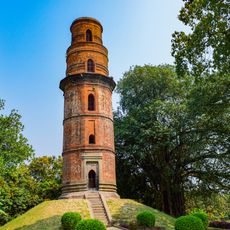
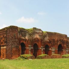
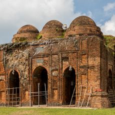
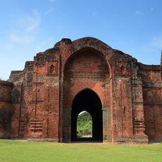
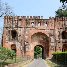
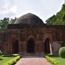
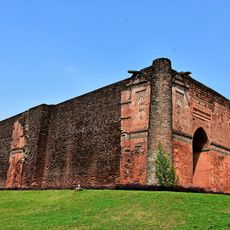
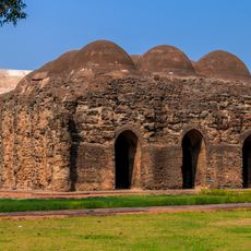
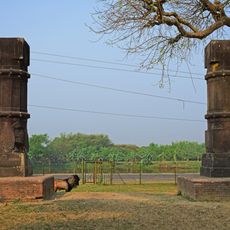
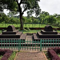
Samserganj was set up as a community development block following the Panchayati Raj reforms introduced across India in the 1950s to bring governance closer to village level. The area itself has a longer history as part of the Murshidabad region, which was once a major center of trade and power in Bengal.
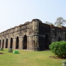
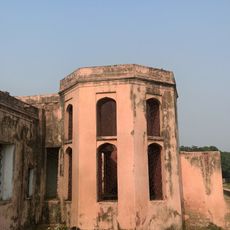
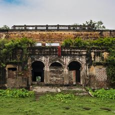
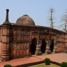
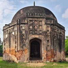
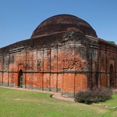
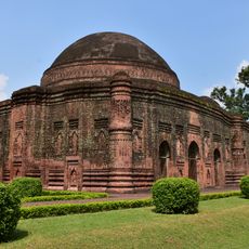
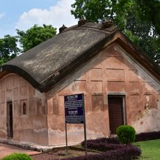
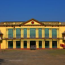
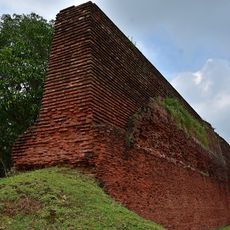
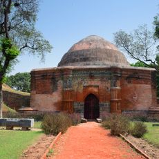
The Nimtita Rajbari palace, located within this block, became widely known after director Satyajit Ray used it as a filming location. Visitors can walk around the grounds and observe the architecture, which reflects the style of wealthy Bengali landlord families from past centuries.
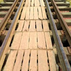
The area can be reached by road via National Highway 12 or by train on the Barharwa-Azimganj-Katwa line, which connects it to neighboring districts. Visitors should bring their own drinking water or use sealed bottled water, as groundwater in parts of the area has arsenic contamination.
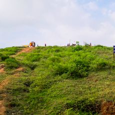
The Ganges riverbank within this block is used daily by local people for bathing and religious rituals, giving the area a rhythm tied closely to the river. This connection to the Ganges makes the block part of a living tradition that visitors can observe early in the morning along the ghats.
The community of curious travelers
AroundUs brings together thousands of curated places, local tips, and hidden gems, enriched daily by 60,000 contributors worldwide.