Enable Location

We need your location to show you interesting places around you

Discover nearby places

Find interesting locations and hidden gems around you

Precise directions

Get accurate directions and distances to places

Your location is never shared with other users. It's only used when you tap the location button.

Log in to your account

Start exploring — it's free

Trusted by 61,968 travelers worldwide

Continue with Google
Continue with Apple
or

We will send you a code to connect

By continuing, you accept our Terms and Conditions and our Privacy Policy

Check your inbox

We've sent a pincode in your inbox. Please enter the code below.

Suti II community development block

Suti II community development block, Community development block in Jangipur subdivision, India

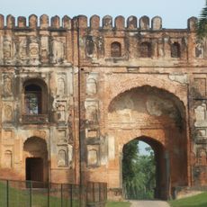
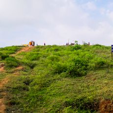
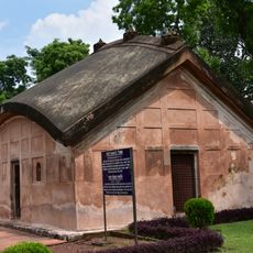
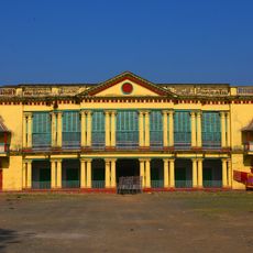
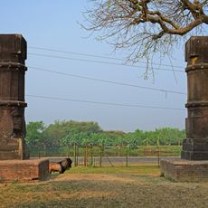
Suti II is an administrative block in Murshidabad district, West Bengal, covering a rural area divided into several gram panchayats with Dafahat serving as the block headquarters. The region contains multiple villages spread across its expanse, functioning as a local administrative center for surrounding settlements.

The block was established as part of West Bengal's administrative framework during the development of community development programs. Dafahat has since served as the main administrative center coordinating local affairs across the region.

The population of 278,922 residents includes a majority of Muslim inhabitants at 72.53 percent and Hindu residents at 27.22 percent, speaking Bengali and English.

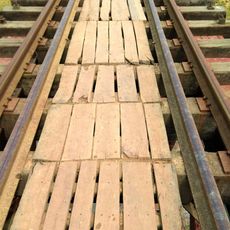
The area is connected by National Highway 12 and served by the Barharwa-Azimganj-Katwa railway line with a station at Sujnipara. Visitors should know the region is predominantly rural with basic infrastructure including schools and health centers distributed across the block.

The Barharwa-Azimganj-Katwa railway loop line serves the block with a station at Sujnipara, while National Highway 12 provides road connectivity.

The community of curious travelers

AroundUs brings together thousands of curated places, local tips, and hidden gems, enriched daily by 60,000 contributors worldwide.

Start exploring
Elevation above the sea
26 m
Shares border with
Samserganj community development block, Suti I community development block
GPS coordinates
24.59800,88.03400
Latest update
December 11, 2025 18:10
« Suti II community development block - Community development block in Jangipur subdivision, India » is provided by Around Us (aroundus.com). Images and texts are derived from Wikimedia project under a Creative Commons license. You are allowed to copy, distribute, and modify copies of this page, under the conditions set by the license, as long as this note is clearly visible.

Discover hidden gems everywhere you go!

From secret cafés to breathtaking viewpoints, skip the crowded tourist spots and find places that match your style. Our app makes it easy with voice search, smart filtering, route optimization, and insider tips from travelers worldwide. Download now for the complete mobile experience.

Around Us App Screenshot

A unique approach to discovering new places

Le Figaro

All the places worth exploring

France Info

A tailor-made excursion in just a few clicks

20 Minutes

Around Us
Travel Guide & Maps
Download

Send to your phone

QR Code
1

Open the camera app on your mobile.

2

Point at the QR code with your camera. A notification will appear.

3

Tap the notification to open the link.