
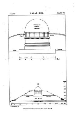
Sagardih fort and stupa, building in India
Location: East Champaran district
GPS coordinates: 26.45892,84.95969
Latest update: March 3, 2025 03:00
Vaishali
55.1 km
Digha–Sonpur Bridge
89.3 km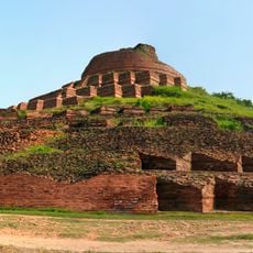
Kesaria stupa
17.4 km
Virat Angkor Wat Ram Mandir
13.6 km
Lauria Nandangarh
81.3 km
Thawe Mandir
56.4 km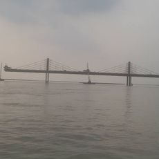
Ara–Chhapra Bridge
82.7 km
Biscomaun Bhawan
95.1 km
Gadhimai
60.1 km
Sita Kund
52.5 km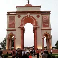
Sabhyata Dwar
95 km
Pava
93.5 km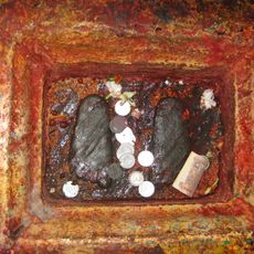
Ramchaura Mandir
91.9 km
Jaleshwar Mahadev Temple
86.1 km
Gadhimai
75 km
Budhi Mai
81.2 km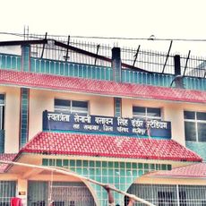
Basawan Singh Indoor Stadium
88.7 km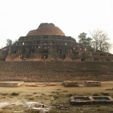
Kesariya stupa
17.4 km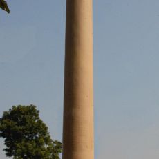
Lauriya-Areraj Ashoka Pillar
32.7 km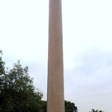
Lauria Nandangarh Ashoka Pillar
81.3 km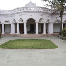
Dr. Rajendra Prasad house
76.3 km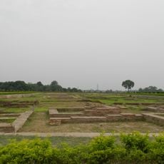
Raja Vishal ka Garh
55.1 km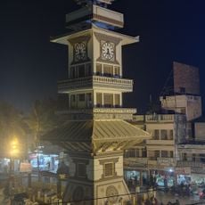
Birgunj Ghanta Ghar
62.4 km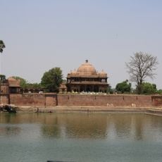
Maner Tank
91.5 km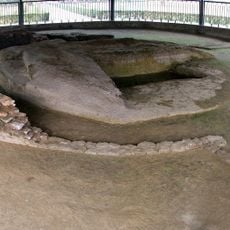
Relic Stupa
54 km
Maner mound and brick walls near survey plot 399
90.5 km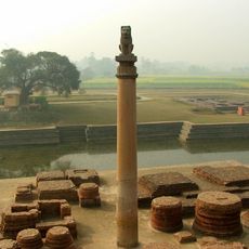
Vaishali Pillar
51.7 km
JaleshworN.P.
86.2 kmReviews
Visited this place? Tap the stars to rate it and share your experience / photos with the community! Try now! You can cancel it anytime.
Discover hidden gems everywhere you go!
From secret cafés to breathtaking viewpoints, skip the crowded tourist spots and find places that match your style. Our app makes it easy with voice search, smart filtering, route optimization, and insider tips from travelers worldwide. Download now for the complete mobile experience.

A unique approach to discovering new places❞
— Le Figaro
All the places worth exploring❞
— France Info
A tailor-made excursion in just a few clicks❞
— 20 Minutes