Mundgod Taluk, taluk in Uttara Kannada district, Karnataka, India
Location: Uttara Kannada District
GPS coordinates: 14.90200,75.01800
Latest update: April 28, 2025 16:55

Sahasralinga
30.4 km
Sirsi Marikamba Temple
37.5 km
Kali Tiger Reserve
69.4 km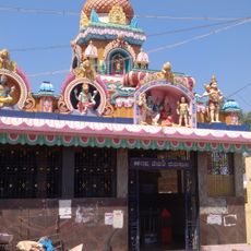
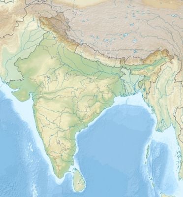
Mylara Lingeshwara Temple
73.1 km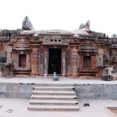
Chandramouleshwara Temple, Unkal
53.9 km
Unchalli Falls
62 km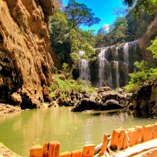
Sathodi Falls
46.7 km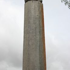
Talagunda pillar inscription
59.1 km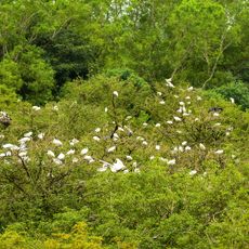
Gudavi Bird Sanctuary
51.5 km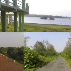
Attiveri Bird Sanctuary
19.9 km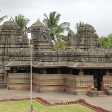
Kedareshvara Temple, Balligavi
61.6 km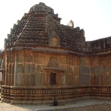
Lakshmeshwara Jain temples
54.1 km
Navagraha Jain Temple
37.4 km
Kuruvathi Basaveshwara temple
74.6 km
Magadi Bird Sanctuary
63.6 km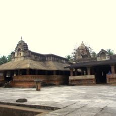
Madhukesvara temple
40.8 km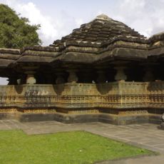
Tarakeshwara Temple, Hangal
19 km
Tripurantaka Temple
60.9 km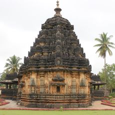
Kaitabheshvara Temple, Kubatur
38.9 km
Banashankari Temple, Amargol
55.8 km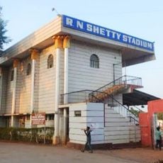
RN Shetty Stadium
62 km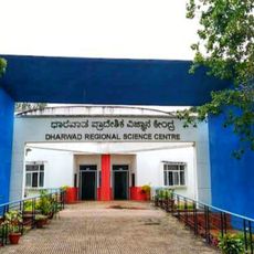
Dharwad Regional Science Centre
60.6 km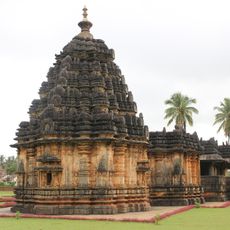
Kubaturu
40.2 km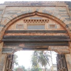
Dharwad Fort
62.6 km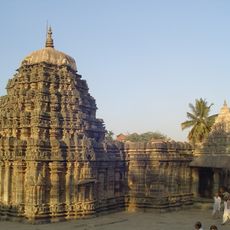
Amritesvara temple
73.2 km
Bherundeshvara Temple
60.8 km
Pranavesvara Temple
59.1 km
Someshwara temple, Lakshmeswar
55 kmVisited this place? Tap the stars to rate it and share your experience / photos with the community! Try now! You can cancel it anytime.
Discover hidden gems everywhere you go!
From secret cafés to breathtaking viewpoints, skip the crowded tourist spots and find places that match your style. Our app makes it easy with voice search, smart filtering, route optimization, and insider tips from travelers worldwide. Download now for the complete mobile experience.

A unique approach to discovering new places❞
— Le Figaro
All the places worth exploring❞
— France Info
A tailor-made excursion in just a few clicks❞
— 20 Minutes