Uttara Kannada District, Administrative district in Karnataka, India
Uttara Kannada is an administrative district in Karnataka that stretches along the Arabian Sea, divided into eleven talukas and covering forested highlands as well as coastal plains. The territory includes more than a thousand villages alongside several mid-sized towns connected by road and rail routes.
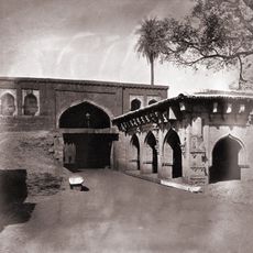
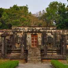
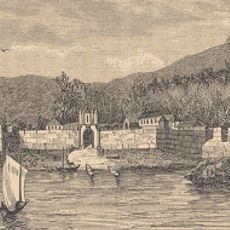
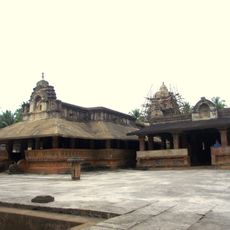
The territory was governed by several dynasties including the Kadamba and the Vijayanagara Empire before becoming part of modern administration. During colonial times the area fell under British control and was later incorporated into Karnataka state as a district.
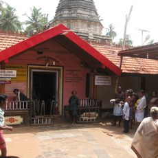
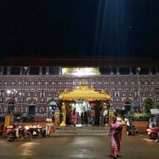
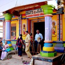
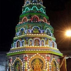
The district maintains a diverse population distribution with multiple ethnic groups contributing to local traditions through regional music, dance performances, and food preparation methods.
The district headquarters in Karwar serves as the main access point with bus connections and a railway station linking travelers to other parts of Karnataka. Public facilities such as hospitals and markets are found in the larger towns along the main roads.
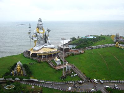
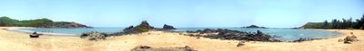
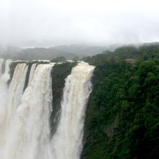
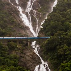
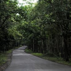
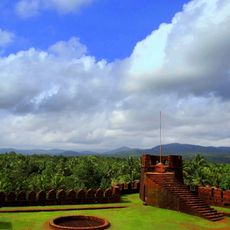
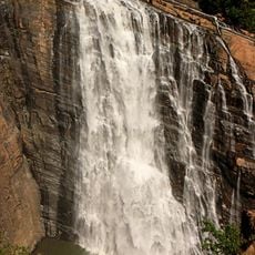
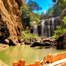
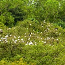
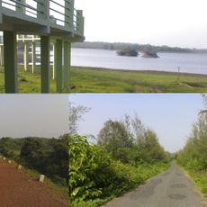
Wide forest areas cover more than eighty thousand hectares and form connected sections of the Western Ghats with waterfalls and river courses. Along the coastline sandy beaches alternate with rocky formations while further inland mountain ranges with dense tree cover begin.
The community of curious travelers
AroundUs brings together thousands of curated places, local tips, and hidden gems, enriched daily by 60,000 contributors worldwide.