
Thakurani Tilla, mound in Tripura, India
Location: South Tripura District
GPS coordinates: 23.20361,91.59194
Latest update: March 15, 2025 22:22
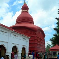
Tripura Sundari Temple
35.3 km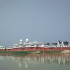
Neermahal
42.7 km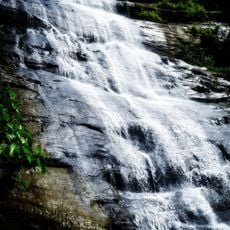
Khoiyachora Waterfall
61.6 km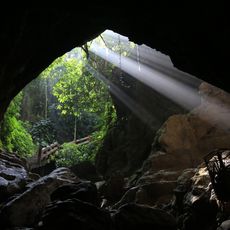
Alutila Cave
39.5 km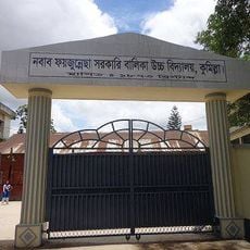
Nawab Faizunnesa Government Girls' High School
51.3 km
Bharat-Bangladesh Maitri Udyan
24 km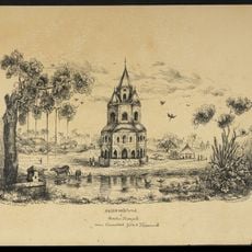
Comilla Jagannath Temple
48.6 km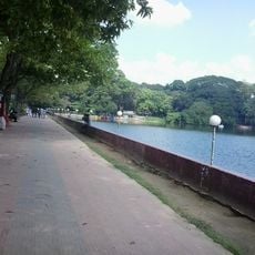
Dharmasagar
51.2 km
Mahamaya Chhara Irrigation Extension Project
43.1 km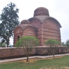
Bhubaneswari Temple
38.7 km
Comilla Stadium
51 km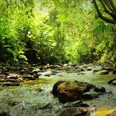
Hazarikhil Wildlife Sanctuary
51.7 km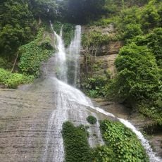
Napittachora Waterfalls
50.9 km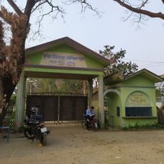
Comilla Zoo and Botanical Garden
52.4 km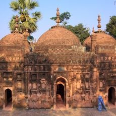
Chandgaji Bhuiyan Mosque
16.6 km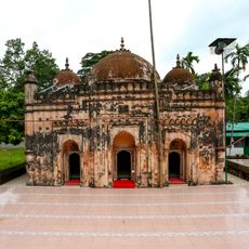
Bakhshi Hamid Mosque
41.8 km
Fort of Shamsher Gazi
26.8 km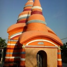
Chandi Mura
50.1 km
Kazirbag Eco-Park
25.1 km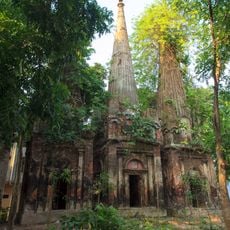
Sat Matha
20.4 km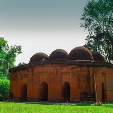
Sharshadi Shahi Mosque
31.1 km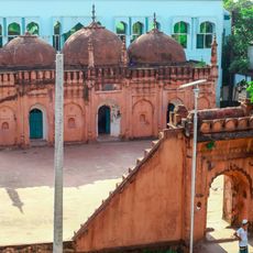
Mohammad Ali Chowdhury Mosque
30.3 km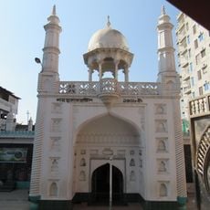
Shah Shuja Mosque
50.9 km
Fort of Shamsher Gazi, Mirsharai Upazila
26.6 km
Syamsundar Tila
1.3 km
Khagrachhari (subdistrito)
45 km
Khagrachari Hill District Council Horticulture Park
40.4 km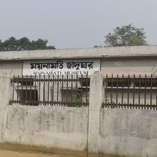
Mainamati Museum
52.5 kmReviews
Visited this place? Tap the stars to rate it and share your experience / photos with the community! Try now! You can cancel it anytime.
Discover hidden gems everywhere you go!
From secret cafés to breathtaking viewpoints, skip the crowded tourist spots and find places that match your style. Our app makes it easy with voice search, smart filtering, route optimization, and insider tips from travelers worldwide. Download now for the complete mobile experience.

A unique approach to discovering new places❞
— Le Figaro
All the places worth exploring❞
— France Info
A tailor-made excursion in just a few clicks❞
— 20 Minutes