Takht District, district in Iran
Location: Bandar Abbas County
GPS coordinates: 27.49500,56.64750
Latest update: March 14, 2025 14:23
Jebel Jais
177.7 km
Portuguese Castle
48 km
Dayah
189 km
Konar Sandal
154.9 km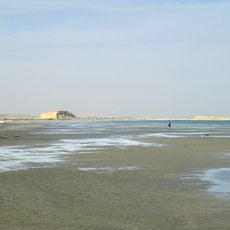
Naaz islands
94.5 km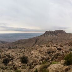
Geno Biosphere Reserve
82.3 km
Persian Gulf Bridge
106 km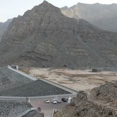
Wādī Ghalīlah
178.6 km
Jabal Raḩabah
182.4 km
Khabr National Park and Ruchun Wildlife Refuge
138.7 km
Portuguese Castle (Qeshm)
69.9 km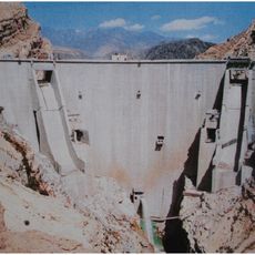
Jiroft Dam
171.9 km
Naderi Castle (Laft)
110.3 km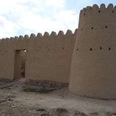
Hoshun Castle
196.4 km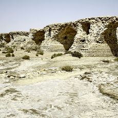
Latidan Bridge
94.9 km
Galbatan House
196 km
Hindu Temple
50.5 km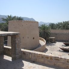
Fort Khasab
149.7 km
Jabal Shintal
180.2 km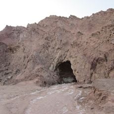
Namakdan Cave
148.6 km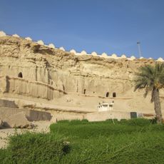
Kharbas Caves
80 km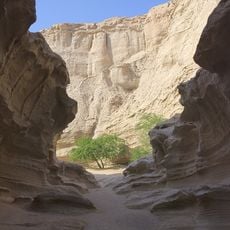
Chah Kooh Canyon
142.2 km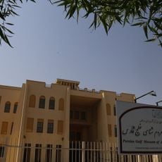
Persian Gulf Anthropology Museum
52.4 km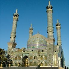
Imamzadeh Mozaffar (Bandar Abbas)
47.3 km
Bandar Kong Anthropology Museum
196.8 km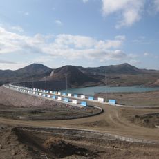
Baft Dam
196.2 km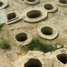
Golden Wells (Laft)
110.2 km
Laft Grand Ab Anbar
110.3 kmReviews
Visited this place? Tap the stars to rate it and share your experience / photos with the community! Try now! You can cancel it anytime.
Discover hidden gems everywhere you go!
From secret cafés to breathtaking viewpoints, skip the crowded tourist spots and find places that match your style. Our app makes it easy with voice search, smart filtering, route optimization, and insider tips from travelers worldwide. Download now for the complete mobile experience.

A unique approach to discovering new places❞
— Le Figaro
All the places worth exploring❞
— France Info
A tailor-made excursion in just a few clicks❞
— 20 Minutes