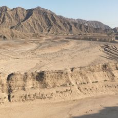
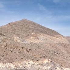
Jabal Raḩabah, Mountain summit in Ras Al Khaimah, United Arab Emirates.
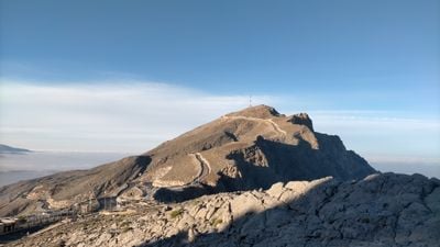
Jabal Rahabah is a mountain summit in the Hajar range, reaching an elevation of 1,543 meters above sea level. The peak is equipped with communication antennas and stands as one of the highest points in this mountain region.
The British cartographer Julian F. Walker documented this mountain between 1950 and 1960 during the mapping of the region. His survey work helped establish boundaries in the United Arab Emirates.
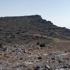
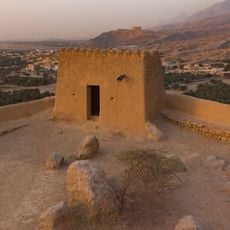
The Bani Shatair tribe, part of the larger Shihuh seminomadic group, maintained settlements near the mountain slopes throughout many generations.
A walking path connects the summit from Rahabah North Col located at 1,223 meters elevation. The trail provides direct access and a straightforward route to reach the peak.
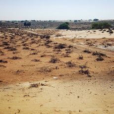
The eastern slope features seasonal water streams, while the western face channels water toward the Persian Gulf through Wadi Rahabah. These natural water paths shape how water flows across the surrounding landscape.
The community of curious travelers
AroundUs brings together thousands of curated places, local tips, and hidden gems, enriched daily by 60,000 contributors worldwide.