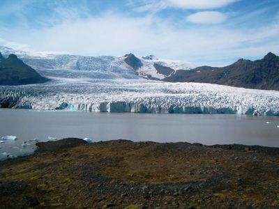
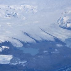
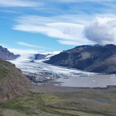
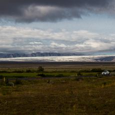
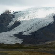
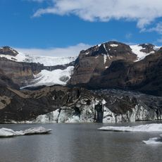
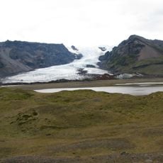
Breiðárlón, Glacial lake near Höfn, Iceland
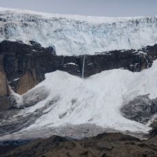
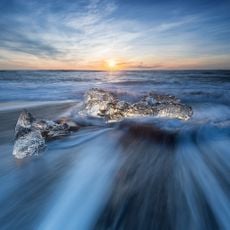
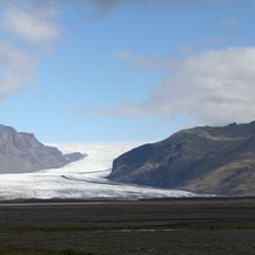
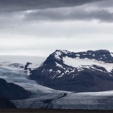
Breiðárlón is a glacial lake fed by the Breiðamerkurjökull glacier, characterized by dark waters where chunks of ice continuously drift and separate from the glacier terminus. The lake basin holds these floating fragments in various sizes, creating an ever-changing tableau of ice and water.
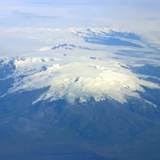
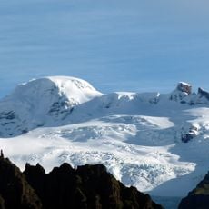
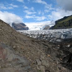
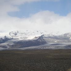
The lake was created as the glacier retreated after the end of the Little Ice Age, carving out a basin that gradually filled with meltwater. This process demonstrates the ongoing reshaping of Iceland's landscape through glacial dynamics.
The lake holds meaning for local communities as a living classroom where people witness glacial retreat and environmental shifts firsthand. Visitors experience how residents connect with these natural processes through guided tours and informal conversations about the changing landscape.
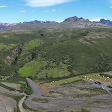
The lake is accessible from Route 1 with parking areas and designated footpaths leading to viewing spots along the shore. Plan your visit during calm weather, as wind and poor conditions can limit visibility of the floating ice and glacier views.
Seals rest on the floating ice chunks, using them as temporary platforms that shift position as they drift across the lake. This natural behavior shows how wildlife has adapted to make use of the constantly changing environment.
The community of curious travelers
AroundUs brings together thousands of curated places, local tips, and hidden gems, enriched daily by 60,000 contributors worldwide.