Vatnajökull

Log in to your account

AroundUs is a community-driven map of interesting places, built by curious explorers like you. It grows with every review, story, and photo you share.
Connect to save your favorite spots, contribute locations, and create personalized routes.
Continue with Google
Continue with Apple
Continue with X
Continue with Facebook
Continue with email
By continuing, you accept our Terms and Conditions and our Privacy Policy
Create an account

Vatnajökull

Add to collection
Map
Suggest a change
Share

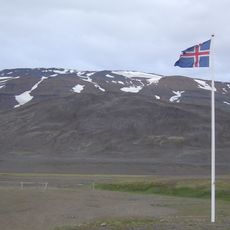
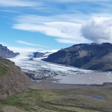
Vatnajökull, Ice cap in Eastern Region, Iceland

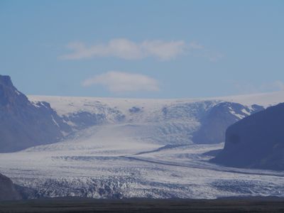
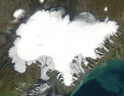
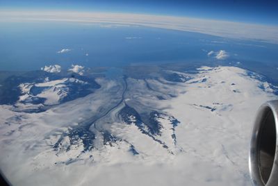
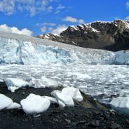
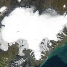
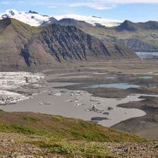
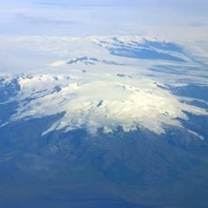
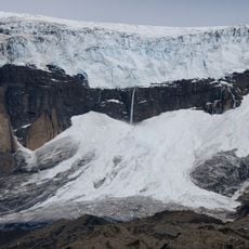
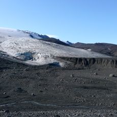
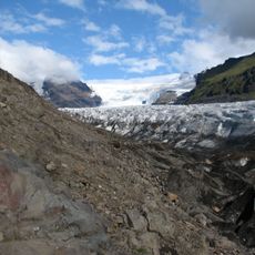
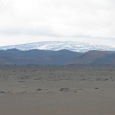
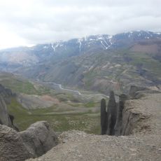
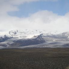
Vatnajökull is an ice cap in the Eastern Region, Northeastern Region, and Southern Region of Iceland, covering more than 8,100 square kilometers with thick glacier ice that hides valleys, mountain peaks, and active volcanoes. Several outlet glaciers flow outward from the central ice mass and often end in lagoons or coastal lowlands.

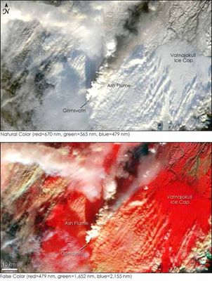
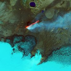
This ice cap formed roughly 2,000 to 2,500 years ago when separate mountain glaciers merged into one continuous ice mass during colder climate phases. Volcanic eruptions beneath the ice have repeatedly changed the shape and reach of the glaciers over the centuries.

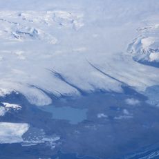
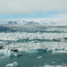
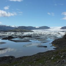
The name translates as "Lakes Glacier," referring to the many meltwater lakes that form along its edges during warmer months. Visitors today can walk near these lakes and observe how ice melts continuously into turquoise pools that shift from year to year.

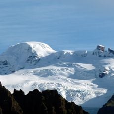
Organized tours provide equipment such as crampons and ice axes so visitors can safely walk on accessible sections of the glacier. Most tours depart from nearby villages or visitor centers and last several hours with breaks for photography and rest.

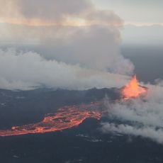
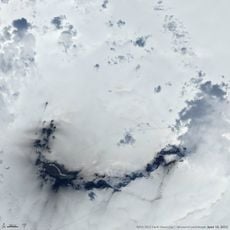
Several volcanic systems lie beneath the ice and trigger sudden glacier runs during eruptions, creating new ice caves that form differently each winter season. Some caves remain stable for only a few months before melting ice alters or closes their entrances.

Location: Eastern Region

Location: Northeastern Region

Location: Southern Region

Website: https://vatnajokulsthjodgardur.is

GPS coordinates: 64.40000,-16.80000

Latest update: December 12, 2025 18:08

Photos
Glaciers worldwide: Perito Moreno, Jostedalsbreen, Vatnajökull

Glaciers represent some of the most remarkable natural formations on Earth. These ice masses form over centuries through the compression of snow and move slowly through valleys and across mountain slopes. They shape landscapes from the Patagonian Andes to Arctic regions and store approximately 70...

Reviews

Visited this place? Tap the stars to rate it and share your experience / photos with the community! Try now! You can cancel it anytime.

« Vatnajökull - Ice cap in Eastern Region, Iceland » is provided by Around Us (aroundus.com). Images and texts are derived from Wikimedia project under a Creative Commons license. You are allowed to copy, distribute, and modify copies of this page, under the conditions set by the license, as long as this note is clearly visible.

Discover hidden gems everywhere you go!

From secret cafés to breathtaking viewpoints, skip the crowded tourist spots and find places that match your style. Our app makes it easy with voice search, smart filtering, route optimization, and insider tips from travelers worldwide. Download now for the complete mobile experience.

Around Us App Screenshot

A unique approach to discovering new places

Le Figaro

All the places worth exploring

France Info

A tailor-made excursion in just a few clicks

20 Minutes