Enable Location

We need your location to show you interesting places around you

Discover nearby places

Find interesting locations and hidden gems around you

Precise directions

Get accurate directions and distances to places

Your location is never shared with other users. It's only used when you tap the location button.

Arnarhóll

Log in to your account

Start exploring — it's free

Trusted by 62,336 travelers worldwide

Continue with Google
Continue with Apple
or

We will send you a code to connect

By continuing, you accept our Terms and Conditions and our Privacy Policy

Check your inbox

We've sent a pincode in your inbox. Please enter the code below.

Arnarhóll

Arnarhóll, hóll í Miðborg Reykjavíkur

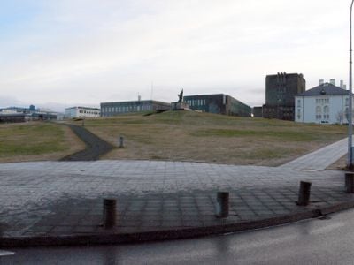
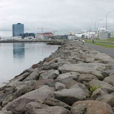
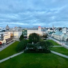
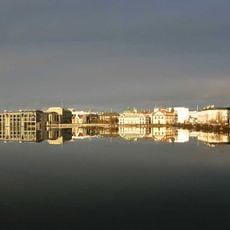
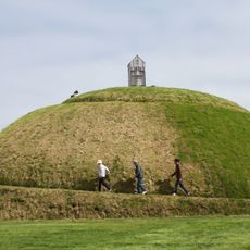
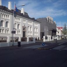
Arnarhóll is a small hill in central Reykjavik that rises above the streets of Kvosin and Lækjargata. It features walking paths, benches, gardens, and artworks that visitors encounter while exploring the space.

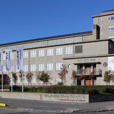
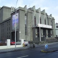
The site was once a farm with records dating back to the 16th century before farming ended in 1828. After the city of Reykjavik took over the land in 1835, it was developed into a public park in 1927.

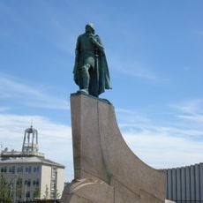
The hill takes its name from eagles that once flew over Iceland, or possibly from Arnar, the father of the first settler. Today it serves as a gathering place where locals and visitors enjoy outdoor concerts during summer and connect with the city's founding story.

The hill is easily accessible and within walking distance of shops, cafes, and Reykjavik's main streets. Several bus routes stop nearby, and parking is available on surrounding streets like Hverfisgata and Ingólfsstræti.

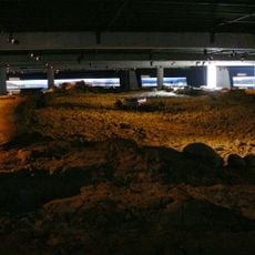
In the 1800s, Jørgen Jørgensen, who declared himself king of Iceland, built a small fort on the hill's summit that was reportedly guarded by intoxicated men and armed with cannons. This quirky episode adds a humorous touch of history and adventure to the place.

The community of curious travelers

AroundUs brings together thousands of curated places, local tips, and hidden gems, enriched daily by 60,000 contributors worldwide.

Start exploring
Location
GPS coordinates
64.14790,-21.93400
Latest update
February 9, 2026 07:45
« Arnarhóll - hóll í Miðborg Reykjavíkur » is provided by Around Us (aroundus.com). Images and texts are derived from Wikimedia project under a Creative Commons license. You are allowed to copy, distribute, and modify copies of this page, under the conditions set by the license, as long as this note is clearly visible.

Discover hidden gems everywhere you go!

From secret cafés to breathtaking viewpoints, skip the crowded tourist spots and find places that match your style. Our app makes it easy with voice search, smart filtering, route optimization, and insider tips from travelers worldwide. Download now for the complete mobile experience.

Around Us App Screenshot

A unique approach to discovering new places

Le Figaro

All the places worth exploring

France Info

A tailor-made excursion in just a few clicks

20 Minutes

Around Us
Travel Guide & Maps
Download

Send to your phone

QR Code
1

Open the camera app on your mobile.

2

Point at the QR code with your camera. A notification will appear.

3

Tap the notification to open the link.