
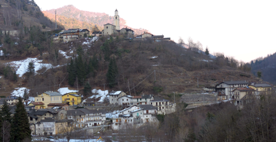
Macra, Italian comune
Location: Province of Cuneo
Elevation above the sea: 875 m
Shares border with: Celle di Macra, Marmora, Sampeyre, San Damiano Macra, Stroppo
Website: https://comune.macra.cn.it
GPS coordinates: 44.50025,7.17832
Latest update: March 16, 2025 15:10

Shrine of St. Magnus
11.1 km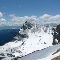
Monte Chersogno
12.9 km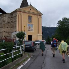
San Giovanni Battista
1.9 km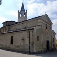
Maria Vergine Assunta Church
11.8 km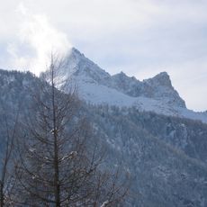
Pelvo d'Elva
13.8 km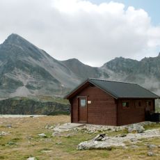
Bivacco Bonfante
13.6 km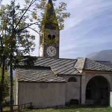
Chiesa parrocchiale Santa Maria Assunta
8.3 km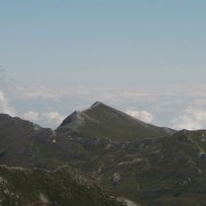
Monte Tibert
9.4 km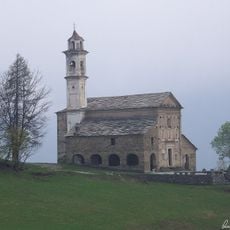
Santa Maria
3.6 km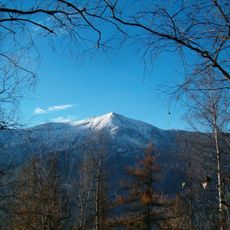
Monte Birrone
7.5 km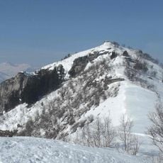
Monte Roccerè
10.6 km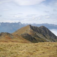
Monte Nebin
5.4 km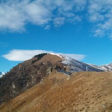
Monte Ricordone
11.8 km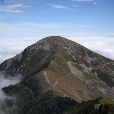
Monte Rastcias
4.7 km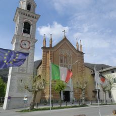
Santi Cosma e Damiano
6.5 km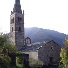
Chiesa San Peyre (Stroppo)
4 km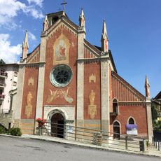
Chiesa dei Santi Pietro e Paolo
8.8 km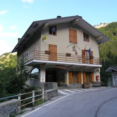
Town hall of Castelmagno
10.5 km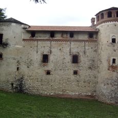
Cartignano Castle
8.8 km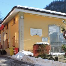
Town hall of Marmora
8.2 km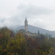
Madonna Nera di Becetto
10 km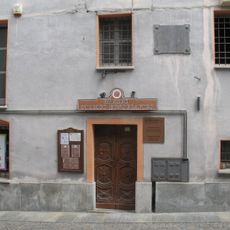
Museo storico etnografico
8.8 km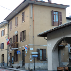
Town hall of San Damiano Macra
6.3 km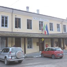
Town hall of Macra
69 m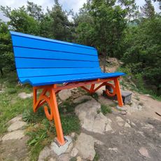
Big bench (Rore)
9.5 km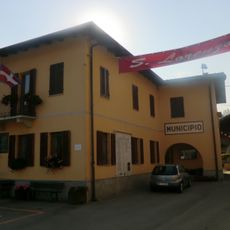
Town hall of Cartignano
9.1 km
Town hall of Sampeyre
8.9 km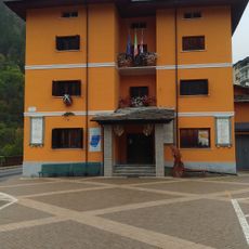
Town hall of Casteldelfino
13.3 kmVisited this place? Tap the stars to rate it and share your experience / photos with the community! Try now! You can cancel it anytime.
Discover hidden gems everywhere you go!
From secret cafés to breathtaking viewpoints, skip the crowded tourist spots and find places that match your style. Our app makes it easy with voice search, smart filtering, route optimization, and insider tips from travelers worldwide. Download now for the complete mobile experience.

A unique approach to discovering new places❞
— Le Figaro
All the places worth exploring❞
— France Info
A tailor-made excursion in just a few clicks❞
— 20 Minutes