Tuoro sul Trasimeno, Municipal division in Umbria, Italy.
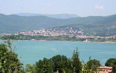
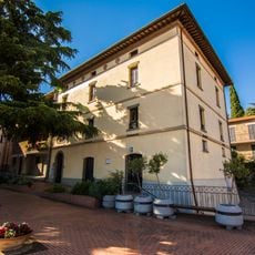
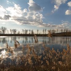
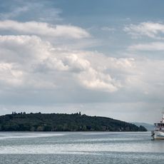
Tuoro sul Trasimeno is a municipality on the northern shore of Lake Trasimeno in Umbria, sitting at around 309 meters (about 1,015 feet) above sea level. The town center lies close to the water, surrounded by low hills and small natural bays along the lakefront.
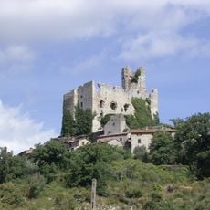
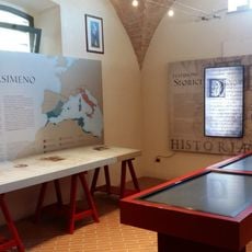
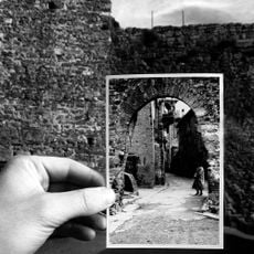
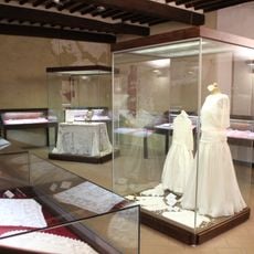
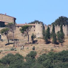
In 217 BCE, this area saw a crushing defeat of the Roman army by Hannibal's forces during the Second Punic War, one of the largest losses Rome ever suffered in a single engagement. The surrounding land still bears traces of that event, with burial sites and artifacts uncovered over the centuries.
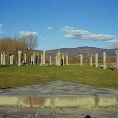
The Campo del Sole open-air museum displays stone column sculptures by artists from different countries, arranged in a circular path near the lake. Visitors can walk along the path at any time, with the water visible just beyond the sculptures.
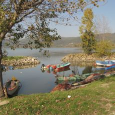
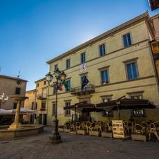
The town center is easy to explore on foot, and the lakefront area is straightforward to reach from the main streets. Visiting earlier in the day tends to be more comfortable, especially in the warmer months when the waterfront gets busier.
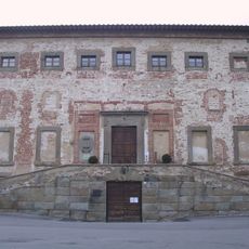
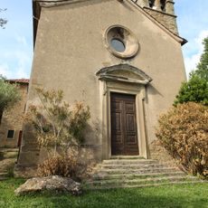
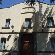
The Palazzo del Capra was built directly over Roman foundations, making it possible to see layers of different periods within a single building. The structure also houses frescoes by Perugino, the painter born not far from here who later taught Raphael.
The community of curious travelers
AroundUs brings together thousands of curated places, local tips, and hidden gems, enriched daily by 60,000 contributors worldwide.