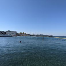
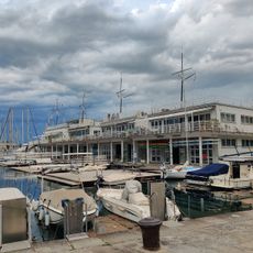
Metres above the Adriatic, Elevation reference point at Port of Trieste, Italy
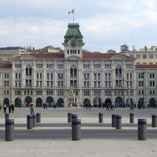
This elevation reference point sits at the Port of Trieste in Italy. The facility uses the average water level of the Adriatic to establish a baseline for height measurements across much of central and southeastern Europe.
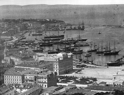
The gauge was set up in 1875 by the military geographical institute of the Austro-Hungarian Army when Trieste was still part of the Habsburg realm. This measuring station then served as the zero elevation for the entire monarchy and remained in use after its collapse.
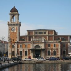
The reference takes its name from the Sartorio pier, a harbor structure in Trieste where water levels have been recorded since the 19th century. You can still see this system printed on older Austrian maps and in the surveying traditions of several central European countries today.
The reference system is still in use for surveying and construction work in Austria, Slovenia, Croatia, and several neighboring countries. You will find the notation in meters above the Adriatic on topographic maps and technical documents prepared in the region.
The system shows slightly different values depending on the region, because other countries have established their own zero points on the Mediterranean or the North Sea. Germany, for example, calculates its elevations about 30 centimeters (12 inches) higher than Austria, even though both use modern surveying methods.
The community of curious travelers
AroundUs brings together thousands of curated places, local tips, and hidden gems, enriched daily by 60,000 contributors worldwide.