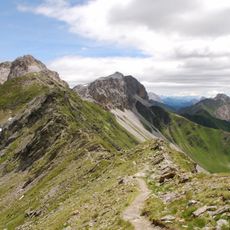
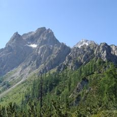
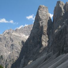
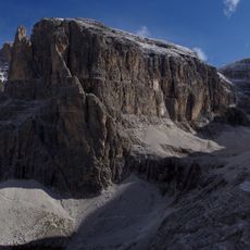
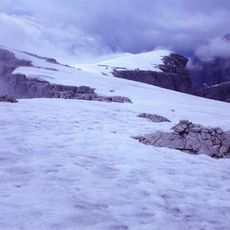
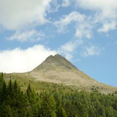
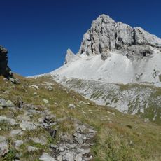
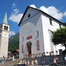
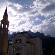
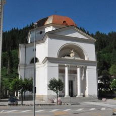
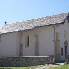
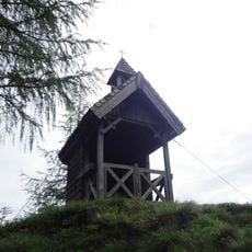
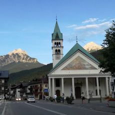
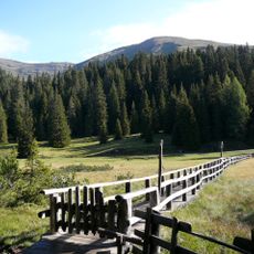
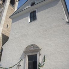
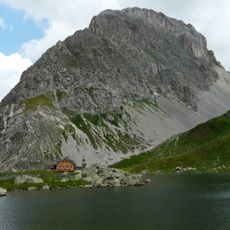
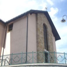
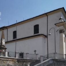
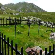
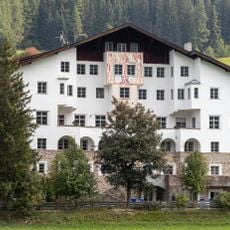
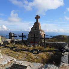
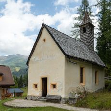
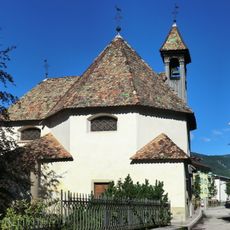
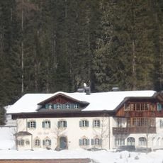
Comelico Superiore, Italian comune
Location: Province of Belluno
Elevation above the sea: 1,210 m
Shares border with: Auronzo di Cadore, Danta di Cadore, San Nicolò di Comelico, Sexten, Kartitsch
Website: http://comelicosuperiore.info
GPS coordinates: 46.58883,12.51685
Latest update: April 4, 2025 21:02
Karnischer Höhenweg
10.3 km
Sextener Rotwand
12 km
Einserkofel
14.1 km
Zwölferkofel
12.5 km
Elferkofel
11.8 km
Monte Popera
10.7 km
Col Quaternà
9.4 km
Monte Cavallino
9.7 km
Santa Giustina
7 km
San Luca Evangelista church
3.3 km
San Lucano
6.6 km
San Nicolò Vescovo
1.1 km
Prinz-Heinrich-Kapelle
12.1 km
Chiesa di Santo Stefano Protomartire
4.3 km
Biotop Seekofel-Nemes
11.7 km
Santa Maria Assunta
38 m
Rosskopf (Carnic Alps)
10.8 km
Santi Rocco e Sebastiano
2.4 km
Beata Vergine della Salute
599 m
Chiesa dei Santi Rocco e Osvaldo
2.2 km
Kriegerfriedhof
10.3 km
Malga Dignas
8.3 km
Hotel Drei Zinnen
15.8 km
Hollbruck, Militärfriedhof Hochgränten
12.8 km
Algudnei - Spazi per la cultura ladina del Comelico
2.3 km
St. Valentin in Moos
15.4 km
Chiesetta delle Grazie, Auronzo di Cadore
6.9 km
Hotel Alte Post
15 kmReviews
Visited this place? Tap the stars to rate it and share your experience / photos with the community! Try now! You can cancel it anytime.
Discover hidden gems everywhere you go!
From secret cafés to breathtaking viewpoints, skip the crowded tourist spots and find places that match your style. Our app makes it easy with voice search, smart filtering, route optimization, and insider tips from travelers worldwide. Download now for the complete mobile experience.
A unique approach to discovering new places❞
— Le Figaro
All the places worth exploring❞
— France Info
A tailor-made excursion in just a few clicks❞
— 20 Minutes