Einserkofel, Mountain summit in South Tyrol, Italy
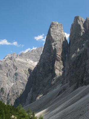
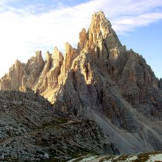
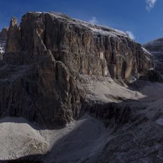
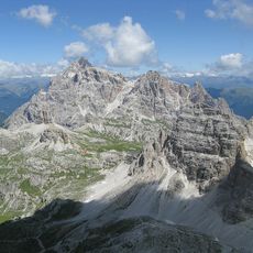
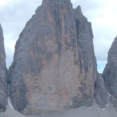
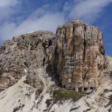
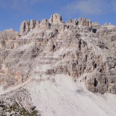
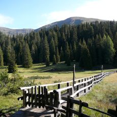
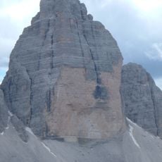
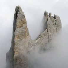
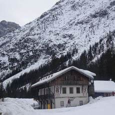
Einserkofel is a mountain summit in the Sextener Sonnenuhr range in South Tyrol, rising to about 2,698 meters with exposed limestone cliffs and steep rocky slopes. The peak dominates the landscape of Val Fiscalina with its distinctive faces and offers broad views of the surrounding Dolomites from its higher points.
The mountain was documented as a significant geographical marker of the Dolomites in maps from the 19th century onward. Its position made it a known reference point for early mountaineers and cartographers exploring the region.
The name Einserkofel comes from local Tyrolean mountain language referring to the peak's shape, while its Italian name Cima Una reflects the linguistic diversity of the region. Visitors can see this cultural boundary embedded in how locals and maps refer to the same summit.
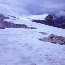
Climbers access the summit through established routes starting from Val Fiscalina, with technical climbing gear needed for the upper sections of the ascent. The best conditions for visiting are in warmer months when snow and ice coverage is minimal and rock conditions are more stable.
A significant rockfall reshaped the mountain's face in recent years, creating new climbing considerations for those using the routes today. This geological shift made several paths less stable and forced mountaineers to adjust their approach strategies.
The community of curious travelers
AroundUs brings together thousands of curated places, local tips, and hidden gems, enriched daily by 60,000 contributors worldwide.