
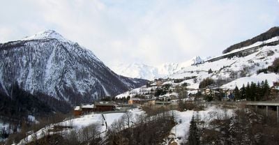
Saint-Rhémy-en-Bosses, Italian comune
Location: Aosta Valley
Elevation above the sea: 1,519 m
Shares border with: Avise, Courmayeur, Gignod, Saint-Oyen, Aosta Valley, Saint-Pierre, La Salle, Aosta Valley, Bourg-Saint-Pierre, Orsières
Website: http://comune.saintrhemyenbosses.ao.it
GPS coordinates: 45.82374,7.18219
Latest update: March 4, 2025 07:05
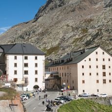
Great St Bernard Hospice
5.1 km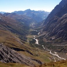
Val Ferret (Aosta Valley)
13.2 km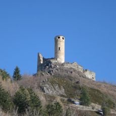
Châtelard Castle
12 km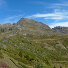
Mont Fallère
5.5 km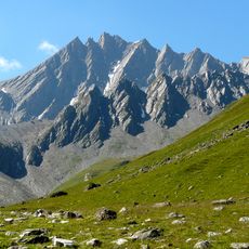
Grand Golliat
7.4 km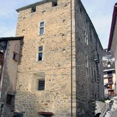
Castello di Bosses
388 m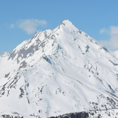
Grande Rochère
9.4 km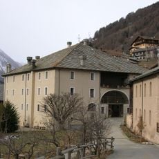
Chateau Verdun
2 km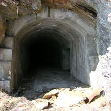
Batterie di Plan Puitz
1.5 km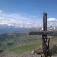
Pointe de Chaligne
7.7 km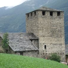
Écours Castle
11.7 km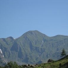
Tête de Ferret
11.4 km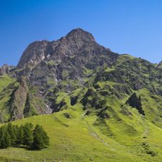
La Tsavre
11 km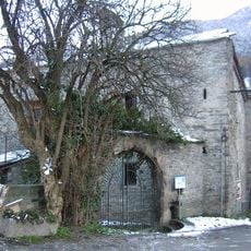
Casaforte Bovet
12 km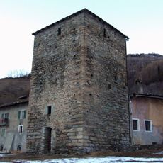
Torre di Vachéry
4.1 km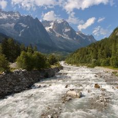
Doire de Ferret
12.1 km
Sbarramento di San Remigio
2 km
Tête entre deux Sauts
10.9 km
Chiesa di San Leonardo
317 m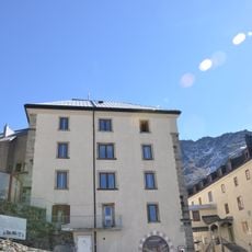
Museum of the Great Saint Bernard Hospice with treasure
5.1 km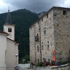
Castello di Bosses
389 m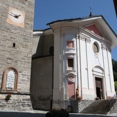
Museo del tesoro della Parrocchia
3.9 km
Maggiociondolo del Château Verdun
2.6 km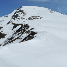
Punta Fetita
8 km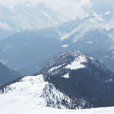
Court de Bard
11 km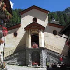
Chiesa di San Remigio
1.3 km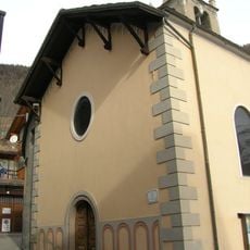
Sant'Eugendo
2.7 km
Biblioteca comunale di Etroubles
3.8 kmReviews
Visited this place? Tap the stars to rate it and share your experience / photos with the community! Try now! You can cancel it anytime.
Discover hidden gems everywhere you go!
From secret cafés to breathtaking viewpoints, skip the crowded tourist spots and find places that match your style. Our app makes it easy with voice search, smart filtering, route optimization, and insider tips from travelers worldwide. Download now for the complete mobile experience.

A unique approach to discovering new places❞
— Le Figaro
All the places worth exploring❞
— France Info
A tailor-made excursion in just a few clicks❞
— 20 Minutes