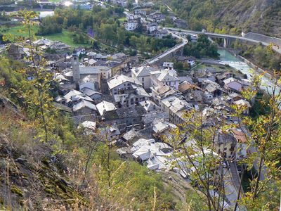
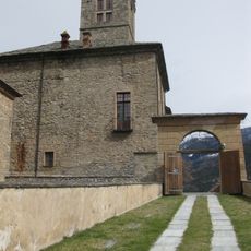
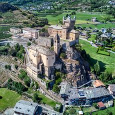
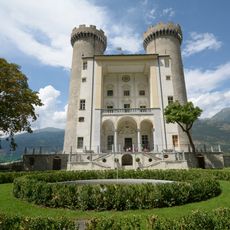
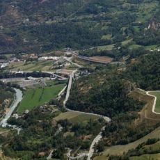
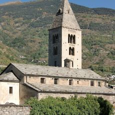
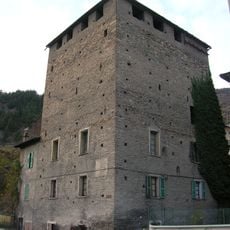
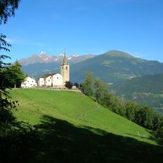
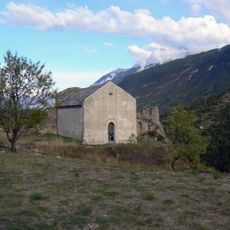
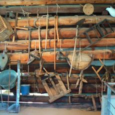
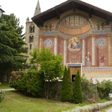
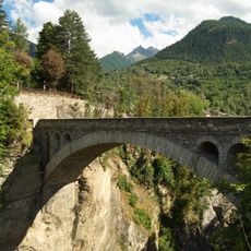
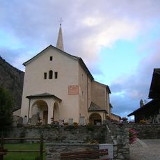
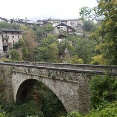
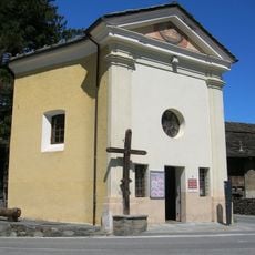
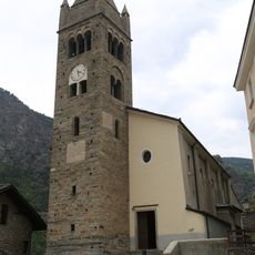
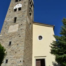
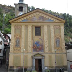
Villeneuve, Aosta Valley, Italian comune
Location: Aosta Valley
Elevation above the sea: 670 m
Shares border with: Aymavilles, Introd, Valsavarenche, Arvier, Saint-Nicolas, Aosta Valley, Saint-Pierre
Website: http://comune.villeneuve.ao.it
GPS coordinates: 45.70244,7.20759
Latest update: April 3, 2025 17:13
Sarre Royal Castle
3.7 km
Saint-Pierre Castle
1.8 km
Aymavilles Castle
3.2 km
Pont d'Aël
2.6 km
Sarriod de la Tour
1.4 km
Châtel-Argent
286 m
Castello di Introd
2.1 km
Parc animalier d'Introd
2.1 km
Château d'Aymavilles
3.2 km
La Mothe Castle
3.1 km
Savara
181 m
Regional Natural Science Museum
1.7 km
Maison-musée Jean-Paul II
4.7 km
Necropoli di Champrotard
1.3 km
Ancient church of Saint Mary of the Assumption (Villeneuve)
526 m
Tour Colin
625 m
Nécropole de Saint-Nicolas
2.8 km
Santa Colomba
301 m
Maison Bruil
2.4 km
New bridge of Introd
2.1 km
Saint George
6.3 km
Saint Leger church
2.4 km
Ponte vecchio
2.2 km
Parish Museum of Arvier
3.1 km
Holy Shroud Chapel
2.1 km
Saint Paul parish church
2.1 km
San Sulpizio
3.1 km
Santa Maria Assunta (Villeneuve)
17 mReviews
Visited this place? Tap the stars to rate it and share your experience / photos with the community! Try now! You can cancel it anytime.
Discover hidden gems everywhere you go!
From secret cafés to breathtaking viewpoints, skip the crowded tourist spots and find places that match your style. Our app makes it easy with voice search, smart filtering, route optimization, and insider tips from travelers worldwide. Download now for the complete mobile experience.
A unique approach to discovering new places❞
— Le Figaro
All the places worth exploring❞
— France Info
A tailor-made excursion in just a few clicks❞
— 20 Minutes