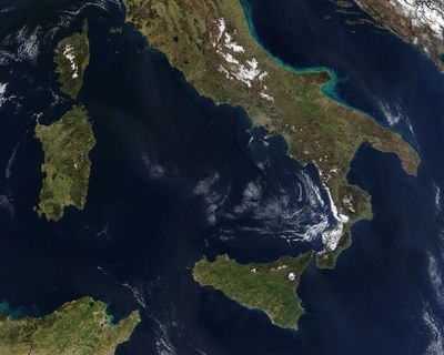
Tyrrhenian Sea, Mediterranean marginal sea near western Italy
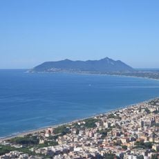
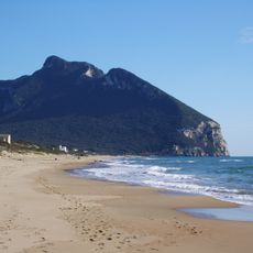
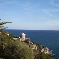
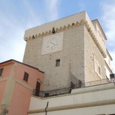
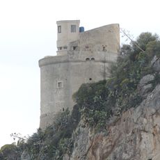
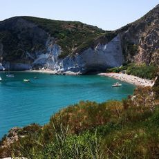
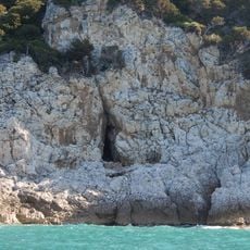
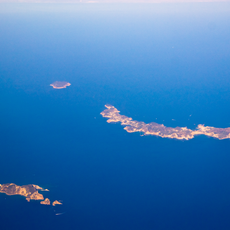
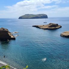
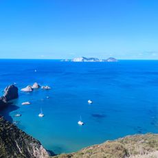
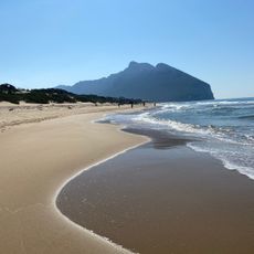
The Tyrrhenian Sea sits between the western coastline of mainland Italy and the islands of Corsica, Sardinia, and Sicily, covering roughly 275,000 square kilometers. Its shoreline alternates between rocky cliffs, sandy coves, and volcanic formations shaped by several active or dormant volcanoes in the region.
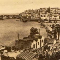
Greek sailors named the waters after the Etruscan people who settled along its coasts from the 8th century BC onward. Phoenician, Roman, and later medieval trade routes crossed these waves, connecting North Africa with the European continent.
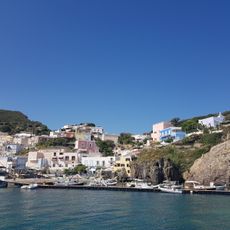
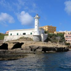
The waters connect major Italian ports including Naples, Palermo, and Civitavecchia, forming crucial maritime routes that shaped Mediterranean civilizations through centuries.
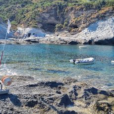
Four passages connect the basin to other waters: two in the south open to the open Mediterranean, one in the northwest leads to the Ligurian Sea, and one in the southeast flows into the Ionian Sea. Ferries run regularly between the larger ports and the islands, while smaller boats often anchor in coves along the shoreline.
The seabed consists of two flat plains, Vavilov and Marsili, separated by an underwater ridge called the Issel Bridge. At its deepest point, the water drops to 3,785 meters (12,418 feet), forming one of the most pronounced depressions in the entire Mediterranean basin.
The community of curious travelers
AroundUs brings together thousands of curated places, local tips, and hidden gems, enriched daily by 60,000 contributors worldwide.