Enable Location

We need your location to show you interesting places around you

Discover nearby places

Find interesting locations and hidden gems around you

Precise directions

Get accurate directions and distances to places

Your location is never shared with other users. It's only used when you tap the location button.

Barrea

Log in to your account

Start exploring — it's free

Trusted by 62,170 travelers worldwide

Continue with Google
Continue with Apple
or

We will send you a code to connect

By continuing, you accept our Terms and Conditions and our Privacy Policy

Check your inbox

We've sent a pincode in your inbox. Please enter the code below.

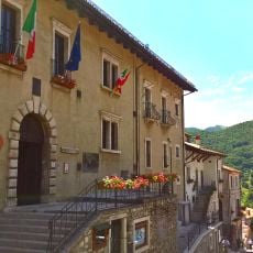
Barrea, Mountain commune in Province of L'Aquila, Italy

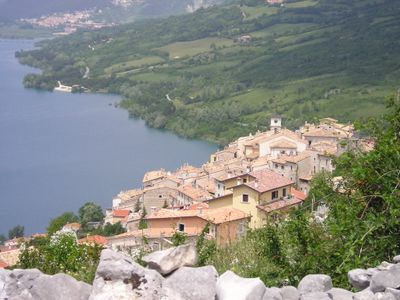
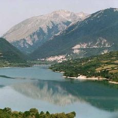
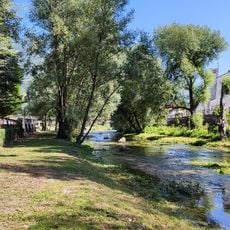
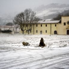
Barrea is a hillside settlement in the Province of L'Aquila situated at 1,060 meters elevation with views over an artificial lake created by damming the Sangro River. The location above this reservoir defines the landscape and shows how human engineering has reshaped the natural environment.

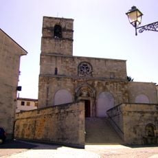
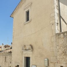
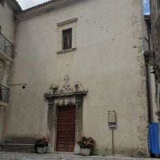
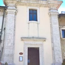
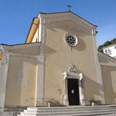
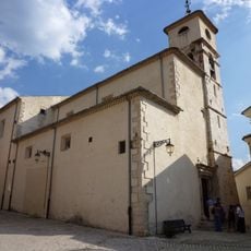
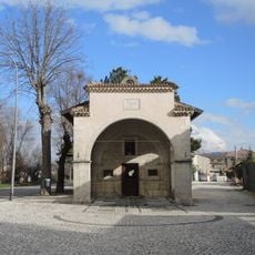
The settlement traces its roots to around 996 when it was called Vallis Regia and grew around a Benedictine monastery that provided shelter during periods of conflict. This monastic foundation anchored the community and allowed continuous habitation across the centuries.

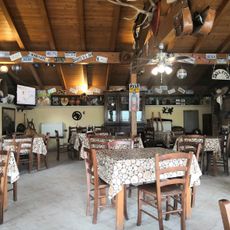
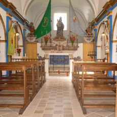
The town celebrates two major religious festivals throughout the year that shape its social rhythm and connect residents to local traditions. These gatherings bring the community together and anchor daily life to the rhythms of faith and heritage.

Access to the village is possible via the A25 motorway exit at Cocullo, with regular bus and train services available from nearby Avezzano and Sulmona. Mountain roads require careful driving and milder months offer more comfortable visiting conditions.

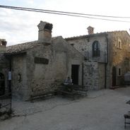
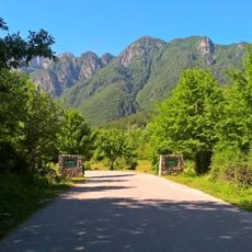
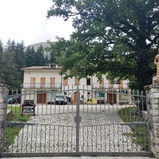
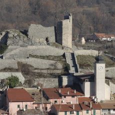
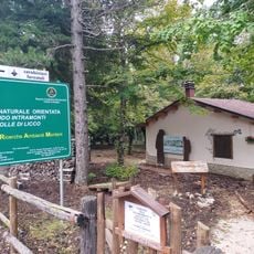
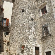
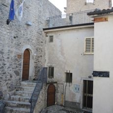
The village retains ancient defensive walls and castle ruins that stand within the boundaries of Abruzzo National Park as part of the protected landscape. Below these medieval structures lie remains of a pre-Roman necropolis that offer glimpses into the area's earliest populations.

The community of curious travelers

AroundUs brings together thousands of curated places, local tips, and hidden gems, enriched daily by 60,000 contributors worldwide.

Start exploring
Capital city
Barrea
Elevation above the sea
1,060 m
Shares border with
Alfedena, Picinisco, Rivisondoli, Scanno, Abruzzo, Settefrati, Civitella Alfedena, Roccaraso, Scontrone, Villetta Barrea
GPS coordinates
41.75694,13.99333
Latest update
December 6, 2025 16:02
Cultural sites and natural areas in Abruzzo

Abruzzo brings together medieval villages, Roman sites, and mountain landscapes. Rocca Calascio rises to 1,460 meters (4,790 feet), offering views across the region from its ancient fortress walls. Gran Sasso and Majella national parks welcome hikers to explore trails through mountain terrain, where...

« Barrea - Mountain commune in Province of L'Aquila, Italy » is provided by Around Us (aroundus.com). Images and texts are derived from Wikimedia project under a Creative Commons license. You are allowed to copy, distribute, and modify copies of this page, under the conditions set by the license, as long as this note is clearly visible.

Discover hidden gems everywhere you go!

From secret cafés to breathtaking viewpoints, skip the crowded tourist spots and find places that match your style. Our app makes it easy with voice search, smart filtering, route optimization, and insider tips from travelers worldwide. Download now for the complete mobile experience.

Around Us App Screenshot

A unique approach to discovering new places

Le Figaro

All the places worth exploring

France Info

A tailor-made excursion in just a few clicks

20 Minutes

Around Us
Travel Guide & Maps
Download

Send to your phone

QR Code
1

Open the camera app on your mobile.

2

Point at the QR code with your camera. A notification will appear.

3

Tap the notification to open the link.