Fontanafredda, Italian comune
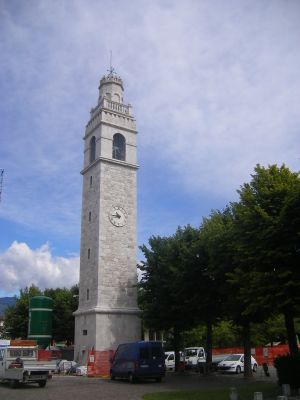
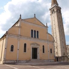
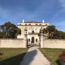
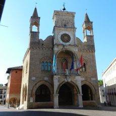
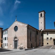
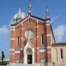
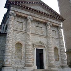
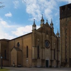
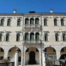
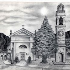
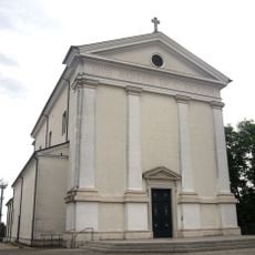
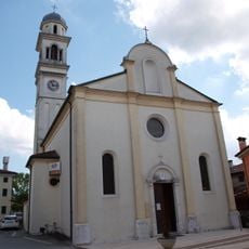
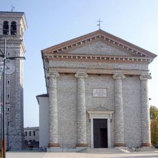
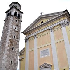
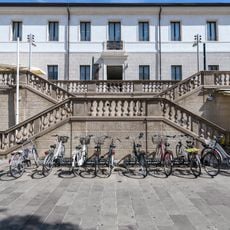
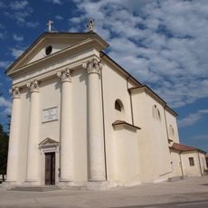
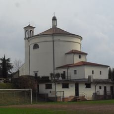
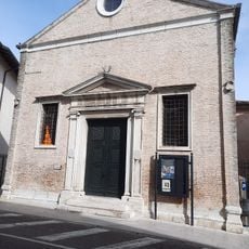
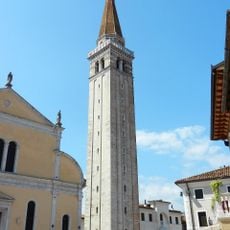
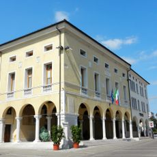
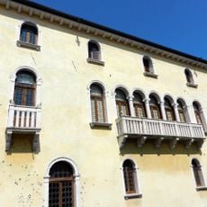
Fontanafredda is a small Italian municipality in the Pordenone region in the northeastern part of the country. The town has mixed architecture with older stone buildings from the 1800s beside newer structures and features public squares that serve as community gathering places.
The settlement was first recorded in the late 12th century under the name Fontanafrigida and developed from an agricultural center in Roman times. Over the centuries, the community grew through the concentration of crafts and local commerce.
The name Fontanafredda refers to the cold springs that flow through the area. Daily life centers on family, neighborhood bonds, and local traditions passed down through generations.
The town is easy to navigate on foot or by car, as its simple layout allows visitors to explore at a relaxed pace. Infrastructure is accessible with shops, public offices, and recreation facilities including a public swimming pool.
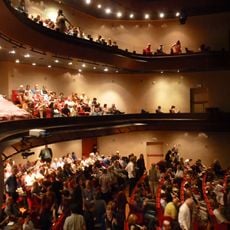
Local festivals with special traditions are held regularly in the town, while surrounding vineyards and farms invite visitors year-round. It is possible to pick grapes during autumn harvest season and taste wine made directly on-site.
The community of curious travelers
AroundUs brings together thousands of curated places, local tips, and hidden gems, enriched daily by 60,000 contributors worldwide.