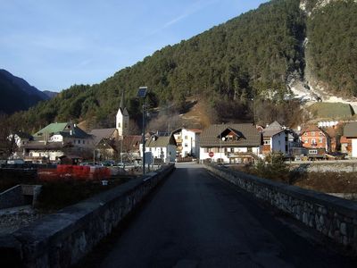
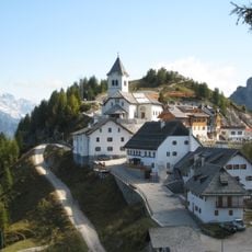
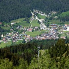
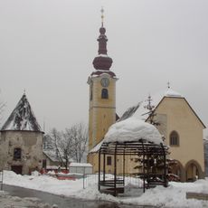
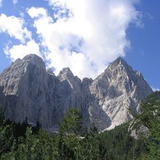
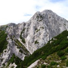
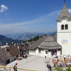
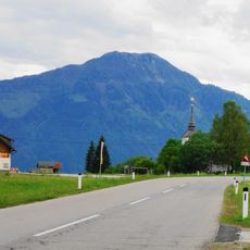
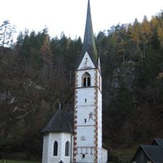
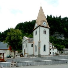
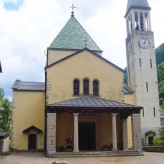
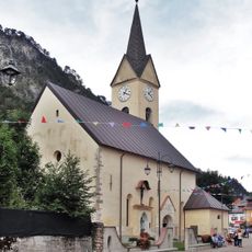
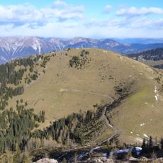
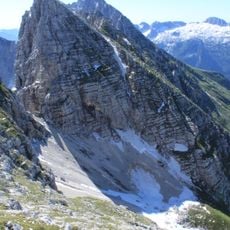
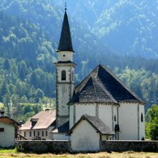
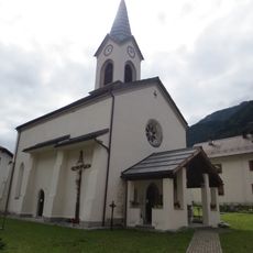
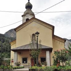
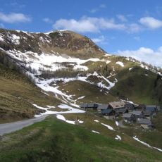
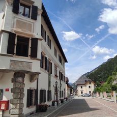
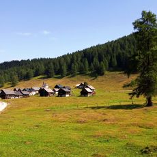
Malborghetto Valbruna, Italian comune
Location: ente di decentramento regionale di Udine
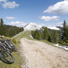
Elevation above the sea: 721 m
Website: http://www.comune.malborghetto-valbruna.ud.it
Shares border with: Chiusaforte, Tarvisio, Dogna, Pontebba, Feistritz an der Gail, Hermagor-Pressegger See, Hohenthurn, Sankt Stefan im Gailtal
Website: http://comune.malborghetto-valbruna.ud.it
GPS coordinates: 46.50704,13.43913
Latest update: April 18, 2025 02:16
Monte Santo di Lussari
7.1 km
Sella di Camporosso
7 km
Santi Pietro e Paolo apostoli
10.7 km
Jôf Fuart
9.5 km
Jôf di Miezegnot
3.6 km
Mother of God Church
7.1 km
Osternig
8 km
Monte Re
10.7 km
Pieve di Santa Maria Maggiore
10.4 km
Sant'Egidio
7.2 km
Santissima Trinità
4.4 km
Unsere liebe Frau im Graben (Maria im Graben)
10.8 km
Santi Filippo e Giacomo
2.6 km
Church of St. Leonard
11.5 km
Monte Acomizza
7.6 km
Visitazione di Maria Santissima
25 m
Cima Bella
5.6 km
Cima di Terrarossa
9 km
San Gottardo
5 km
Chiesa di Santa Geltrude
7 km
Chiesa di San Giovanni Battista
10.1 km
Poludnig
7.6 km
Palazzo Veneziano
45 m
Bivak Stuparich
7 km
Fort Hensel
1.1 km
Kapelle Maria Schnee, Feistritz an der Gail
7.6 km
Valloni di Rio Bianco e di Malborghetto
4.2 km
Egger Alm
9.8 kmReviews
Visited this place? Tap the stars to rate it and share your experience / photos with the community! Try now! You can cancel it anytime.
Discover hidden gems everywhere you go!
From secret cafés to breathtaking viewpoints, skip the crowded tourist spots and find places that match your style. Our app makes it easy with voice search, smart filtering, route optimization, and insider tips from travelers worldwide. Download now for the complete mobile experience.
A unique approach to discovering new places❞
— Le Figaro
All the places worth exploring❞
— France Info
A tailor-made excursion in just a few clicks❞
— 20 Minutes