Enable Location

We need your location to show you interesting places around you

Discover nearby places

Find interesting locations and hidden gems around you

Precise directions

Get accurate directions and distances to places

Your location is never shared with other users. It's only used when you tap the location button.

Latiano

Log in to your account

Start exploring — it's free

Trusted by 63,527 travelers worldwide

Continue with Google
Continue with Apple
or

We will send you a code to connect

By continuing, you accept our Terms and Conditions and our Privacy Policy

Check your inbox

We've sent a pincode in your inbox. Please enter the code below.

Discussion Reviews 1 Photos
19.4k Popularity

Latiano, Italian comune

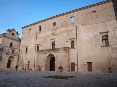
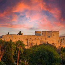
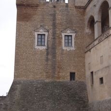
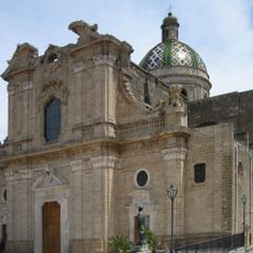
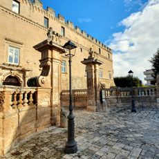
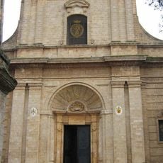
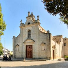
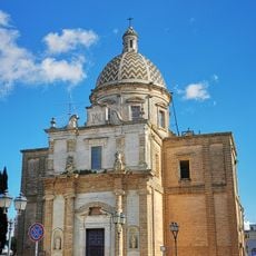
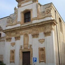
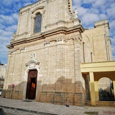
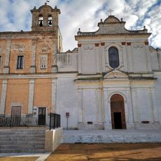
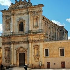
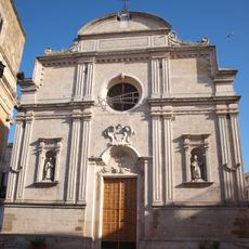
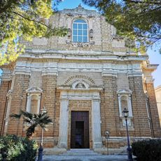
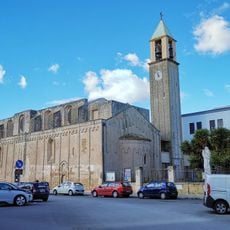
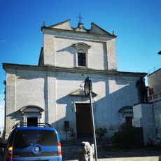
Latiano is a small town in the province of Brindisi in Apulia, surrounded by fields and vineyards. The historic center has narrow, winding streets where the Solise Tower stands as a distinctive landmark, and Palazzo Imperiali, a structure from the 12th century, now serves as the town hall.

The town was founded in the 11th century after Normans granted land to Benedictine monks. Over the centuries, Latiano was ruled by Normans, Swabians, Angevins, and Aragonese before becoming the property of the Francone family in 1551, then later the Imperiali family, who controlled it until the late 1700s.

The name Latiano comes from the Latin word "lato", meaning "side" or "edge", as the town spreads across a wide farming area. Local people keep traditions alive through making pasta reale, an almond sweet especially important during holidays, with regular workshops teaching the craft to younger generations.

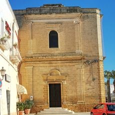
The best way to explore Latiano is by walking through the narrow streets of the historic center, where small squares and local cafes are scattered throughout. It is helpful to visit in early morning or late afternoon when the streets are more active and local shops and markets display their goods.

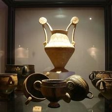
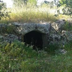
Near Latiano lie the ruins of the ancient city of Scamnum, inhabited from the 8th century BC until around the 6th century AD. Visitors can still see the remains of Roman houses and the fortress ruins of Muro Tenente, offering direct glimpses into the very old history of this region.

The community of curious travelers

AroundUs brings together thousands of curated places, local tips, and hidden gems, enriched daily by 60,000 contributors worldwide.

Start exploring
Capital city
Latiano
Elevation above the sea
97 m
Shares border with
Francavilla Fontana, Mesagne, San Michele Salentino, Brindisi, Oria, San Vito dei Normanni
GPS coordinates
40.57391,17.71448
Latest update
February 16, 2026 22:40
Reviews
Share your experience

No review yet

Discussions
Start a discussion...

No discussion yet

« Latiano - Italian comune » is provided by Around Us (aroundus.com). Images and texts are derived from Wikimedia project under a Creative Commons license. You are allowed to copy, distribute, and modify copies of this page, under the conditions set by the license, as long as this note is clearly visible.

Discover hidden gems everywhere you go!

From secret cafés to breathtaking viewpoints, skip the crowded tourist spots and find places that match your style. Our app makes it easy with voice search, smart filtering, route optimization, and insider tips from travelers worldwide. Download now for the complete mobile experience.

Around Us App Screenshot

A unique approach to discovering new places

Le Figaro

All the places worth exploring

France Info

A tailor-made excursion in just a few clicks

20 Minutes

Around Us
Travel Guide & Maps
Download

Send to your phone

QR Code
1

Open the camera app on your mobile.

2

Point at the QR code with your camera. A notification will appear.

3

Tap the notification to open the link.