Enable Location

We need your location to show you interesting places around you

Discover nearby places

Find interesting locations and hidden gems around you

Precise directions

Get accurate directions and distances to places

Your location is never shared with other users. It's only used when you tap the location button.

Sant'Agata di Puglia

Log in to your account

Start exploring — it's free

Trusted by 66,285 travelers worldwide

Continue with Google
Continue with Apple
or

We will send you a code to connect

By continuing, you accept our Terms and Conditions and our Privacy Policy

Check your inbox

We've sent a pincode in your inbox. Please enter the code below.

Sant'Agata di Puglia
Discussion Reviews 1 Photos
18.5k Popularity

Sant'Agata di Puglia, Italian comune

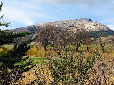
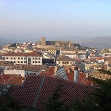
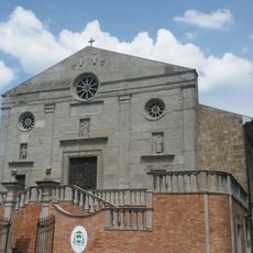
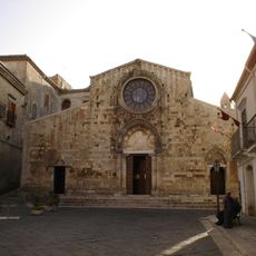
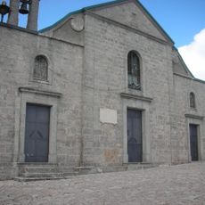
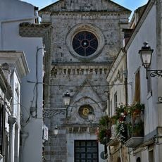
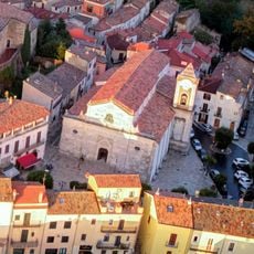
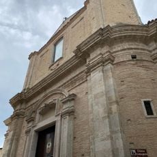
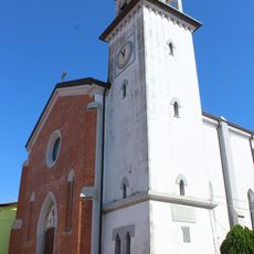
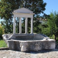
Sant'Agata di Puglia is a commune in the Province of Foggia, Puglia, situated on a ridge of the Monti Dauni at around 800 meters above sea level. Stone streets run through the historic center, passing several churches including San Nicola and Sant'Andrea, while a Romanesque church stands as the main religious building in the village.

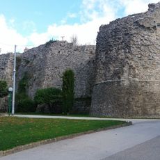
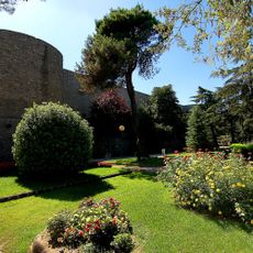
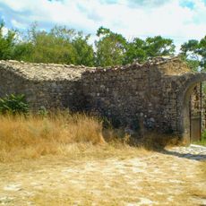
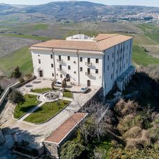
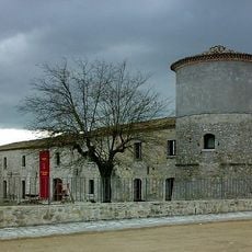
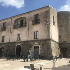
The settlement dates back to at least the 11th century, when the Normans controlled the area and built many of its oldest structures. The castle at the top of the hill served as a fortress under Byzantine, Lombard, and Norman rule before being converted into a residence during the Aragonese period.

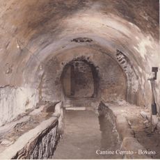
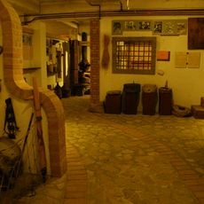
Every February 3, the town gathers for the feast of San Biagio, when a blessing is given and bread is shared among the community. In the old part of town, visitors can still find places where olive oil is pressed and bread is baked in wood-fired ovens, following methods passed down within families.

The historic center is best explored on foot, since streets are steep and narrow and most points of interest are close together. The village sits at an elevation that keeps it cooler in summer than the surrounding lowlands, which is worth keeping in mind when planning a visit.

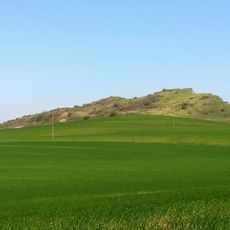
The village has long been nicknamed 'lo Spione', meaning 'the Spy', because its hilltop position allows a view over the entire surrounding valley. On the edge of town, an old stone bridge known as the Ponte Romano marks a crossing point that once connected trade routes through these mountains.

The community of curious travelers

AroundUs brings together thousands of curated places, local tips, and hidden gems, enriched daily by 60,000 contributors worldwide.

Start exploring
Capital city
Sant'Agata di Puglia
Elevation above the sea
794 m
Shares border with
Anzano di Puglia, Candela, Deliceto, Lacedonia, Monteleone di Puglia, Rocchetta Sant'Antonio, Scampitella, Accadia
Address
Pro Loco, 8 Vico Farmacia, Sant'Agata Di Puglia, FG 71028
GPS coordinates
41.15278,15.38083
Latest update
March 3, 2026 08:23
Reviews
Share your experience

No review yet

Discussions
Start a discussion...

No discussion yet

« Sant'Agata di Puglia - Italian comune » is provided by Around Us (aroundus.com). Images and texts are derived from Wikimedia project under a Creative Commons license. You are allowed to copy, distribute, and modify copies of this page, under the conditions set by the license, as long as this note is clearly visible.

Discover hidden gems everywhere you go!

From secret cafés to breathtaking viewpoints, skip the crowded tourist spots and find places that match your style. Our app makes it easy with voice search, smart filtering, route optimization, and insider tips from travelers worldwide. Download now for the complete mobile experience.

Around Us App Screenshot

A unique approach to discovering new places

Le Figaro

All the places worth exploring

France Info

A tailor-made excursion in just a few clicks

20 Minutes

Around Us
Travel Guide & Maps
Download

Send to your phone

QR Code
1

Open the camera app on your mobile.

2

Point at the QR code with your camera. A notification will appear.

3

Tap the notification to open the link.