Enable Location

We need your location to show you interesting places around you

Discover nearby places

Find interesting locations and hidden gems around you

Precise directions

Get accurate directions and distances to places

Your location is never shared with other users. It's only used when you tap the location button.

Serino

Log in to your account

Start exploring — it's free

Trusted by 63,021 travelers worldwide

Continue with Google
Continue with Apple
or

We will send you a code to connect

By continuing, you accept our Terms and Conditions and our Privacy Policy

Check your inbox

We've sent a pincode in your inbox. Please enter the code below.

Discussion Reviews 1 Photos
17k Popularity

Serino, Italian comune

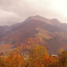
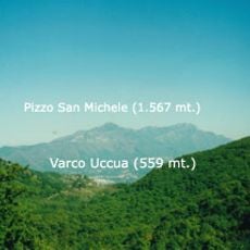
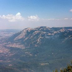
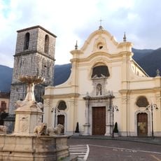
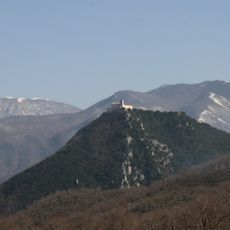
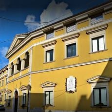
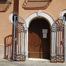
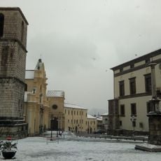
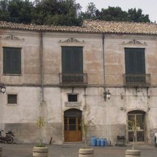
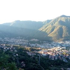
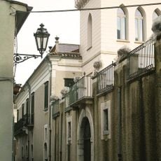
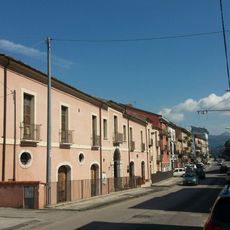
Serino is a small commune in the Province of Avellino in Campania, sitting on a hilltop about 400 meters above sea level. The town spreads across several hamlets on both sides of the Sabato River and is surrounded by dense chestnut forests and green fields that define its landscape.

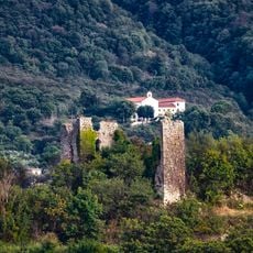
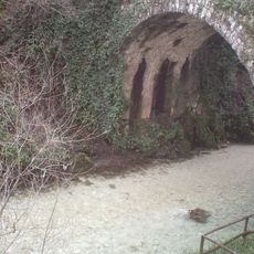
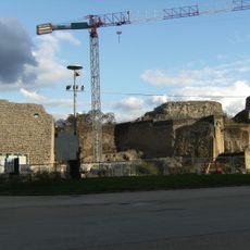
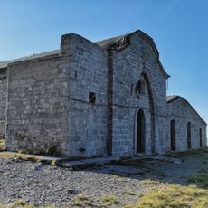
Serino developed at the site of the ancient Sabatia, founded by the Sabatini people who settled there in the second century before Christ. A Roman aqueduct built under Emperor Claudius supplied water to the region and made Serino an important ancient location, with its influence extending to supplying water to Naples.

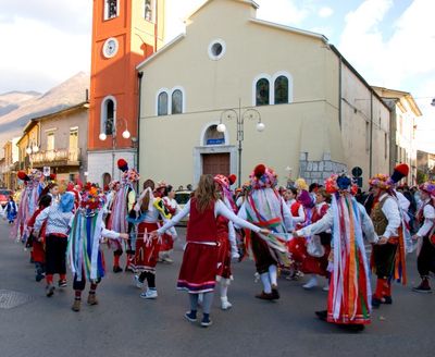
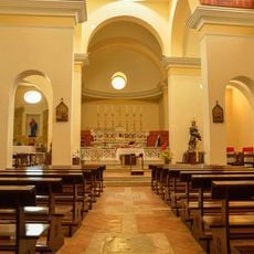
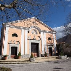
The name Serino comes from the ancient place Sabatia, linked to the Sabatini people who settled here long ago. Today, seasonal celebrations like the Chestnut Festival and the Feast of Saint Francis bring the community together and keep local traditions and agricultural heritage at the center of daily life.

The town is easily reached from Avellino with a nearby train station and highway access. The best time for hiking and exploring is from May to October, when the weather is mild and the chestnut forests are full and green.

The town was home to a remarkable Roman aqueduct built under Emperor Claudius in ancient times, which still supplies water to Naples more than two thousand years later. This engineering feat reveals how important Serino was historically and how its water systems influenced the broader region.

The community of curious travelers

AroundUs brings together thousands of curated places, local tips, and hidden gems, enriched daily by 60,000 contributors worldwide.

Start exploring
Capital city
Serino
Elevation above the sea
416 m
Shares border with
Aiello del Sabato, Calvanico, Giffoni Valle Piana, Montella, San Michele di Serino, Santa Lucia di Serino, Solofra, Volturara Irpina, Santo Stefano del Sole
GPS coordinates
40.85000,14.87500
Latest update
February 17, 2026 01:20
Reviews
Share your experience

No review yet

Discussions
Start a discussion...

No discussion yet

« Serino - Italian comune » is provided by Around Us (aroundus.com). Images and texts are derived from Wikimedia project under a Creative Commons license. You are allowed to copy, distribute, and modify copies of this page, under the conditions set by the license, as long as this note is clearly visible.

Discover hidden gems everywhere you go!

From secret cafés to breathtaking viewpoints, skip the crowded tourist spots and find places that match your style. Our app makes it easy with voice search, smart filtering, route optimization, and insider tips from travelers worldwide. Download now for the complete mobile experience.

Around Us App Screenshot

A unique approach to discovering new places

Le Figaro

All the places worth exploring

France Info

A tailor-made excursion in just a few clicks

20 Minutes

Around Us
Travel Guide & Maps
Download

Send to your phone

QR Code
1

Open the camera app on your mobile.

2

Point at the QR code with your camera. A notification will appear.

3

Tap the notification to open the link.