Montegallo, Italian comune
Location: Province of Ascoli Piceno
Elevation above the sea: 870 m
Shares border with: Arquata del Tronto, Montemonaco, Roccafluvione, Comunanza, Acquasanta Terme
Website: http://provincia.ap.it/Montegallo
GPS coordinates: 42.84211,13.33278
Latest update: April 3, 2025 22:42
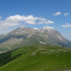
Monte Vettore
5.1 km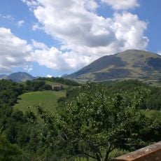
Monte Sibilla
8.6 km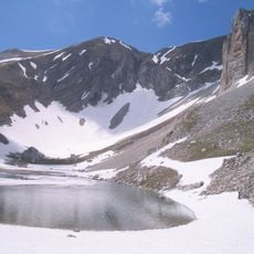
Cima del Redentore
6.6 km
San Leonardo al Volubrio
10 km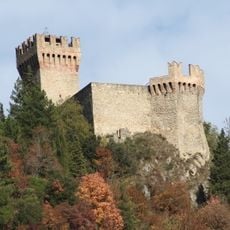
Rocca di Arquata del Tronto
8.3 km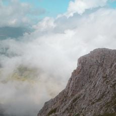
Pizzo del Diavolo
6.2 km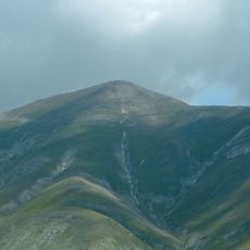
Monte Porche
9.1 km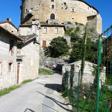
Castel di Luco
10.4 km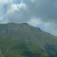
Palazzo Borghese
8.4 km
Cima del Lago
6.6 km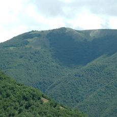
Monte Prata
10.9 km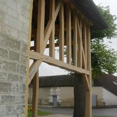
Porche di Vallinfante
10.9 km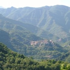
Monte Ceresa
4.3 km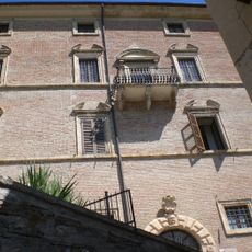
Pinacoteca Civica Fortunato Duranti
11.2 km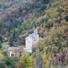
Santa Maria in Lapide
1.1 km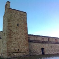
Chiesa di Sant'Angelo in Montespino
9.5 km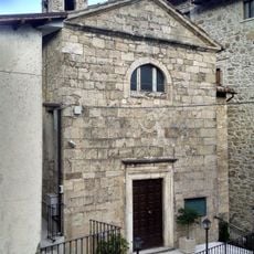
Santissimo Crocifisso
9.9 km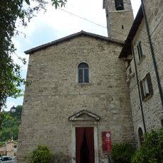
Chiesa di San Giovanni Battista
10.2 km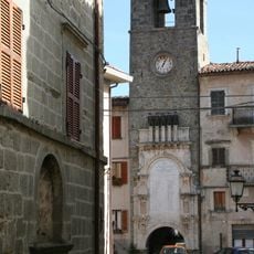
Torre civica
8.3 km
Sant'Agostino
11.3 km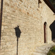
Santa Maria della Concezione
11.1 km
Monterone
3.4 km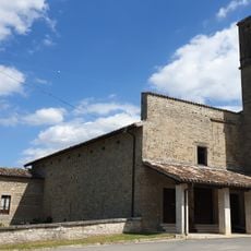
Santo Stefano
11.5 km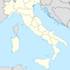
Cima Cannafusto
11.5 km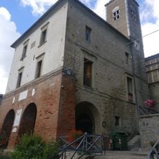
Chiesa di San Benedetto
6.4 km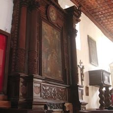
San Francesco
8 km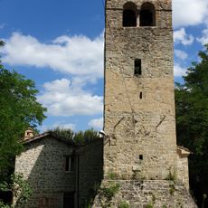
Santissimi Ippolito e Cassiano
8.2 km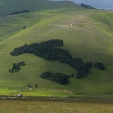
Bosco Italia
11.5 kmVisited this place? Tap the stars to rate it and share your experience / photos with the community! Try now! You can cancel it anytime.
Discover hidden gems everywhere you go!
From secret cafés to breathtaking viewpoints, skip the crowded tourist spots and find places that match your style. Our app makes it easy with voice search, smart filtering, route optimization, and insider tips from travelers worldwide. Download now for the complete mobile experience.

A unique approach to discovering new places❞
— Le Figaro
All the places worth exploring❞
— France Info
A tailor-made excursion in just a few clicks❞
— 20 Minutes