Liri, River system across Abruzzo, Lazio and Campania, Italy
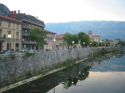
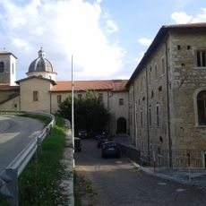
The Liri is a river system that flows roughly 160 kilometers through central Italy, starting from mountain sources in the north and reaching the Tyrrhenian Sea in the south. The waterway cuts through several regions, shaping the valleys and terrain along its entire course.
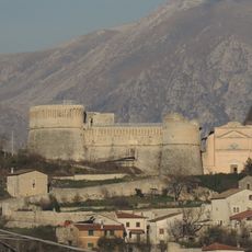
The river played a key strategic role during World War II when it became part of a major German defensive line. This location witnessed significant military conflict as Allied forces pushed northward through the region.
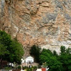
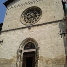
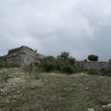
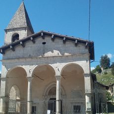
The river held sacred meaning for ancient peoples who built temples and shrines along its course to honor water deities. Local communities still recognize these sites as part of their heritage and connection to the landscape.
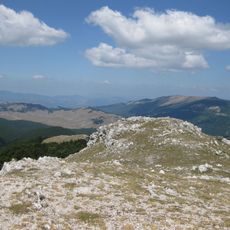
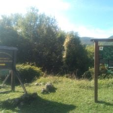
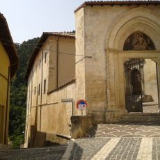
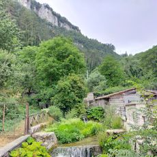
The river is accessible at various points along its course, with walking paths and viewing areas available year-round. Visitors should expect different terrain conditions depending on which section they explore.
At Isola del Liri, the river splits into two branches and drops about 28 meters to create a waterfall within the town itself. This unusual waterfall formation in the middle of a populated area is a striking natural feature.
The community of curious travelers
AroundUs brings together thousands of curated places, local tips, and hidden gems, enriched daily by 60,000 contributors worldwide.