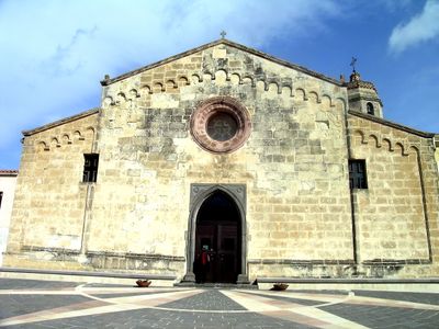
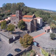
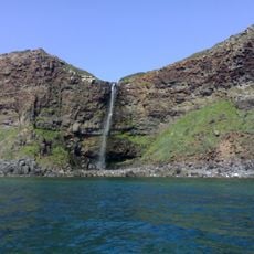
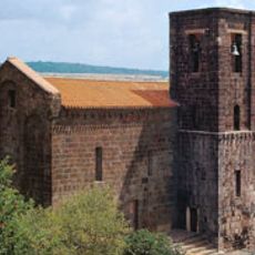
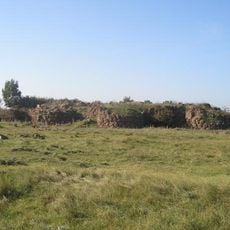
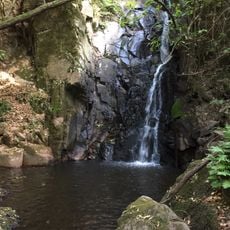
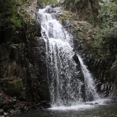
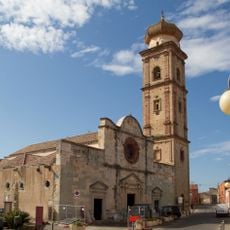
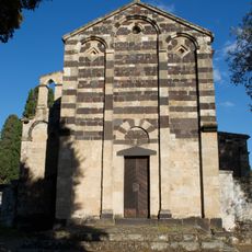
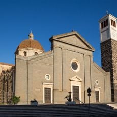
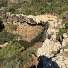
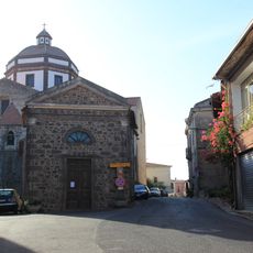
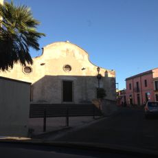
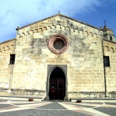
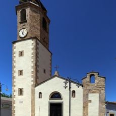
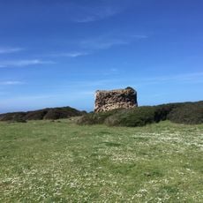
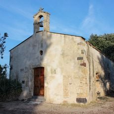
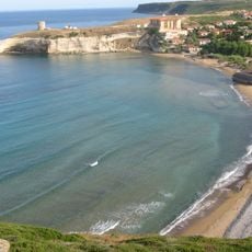
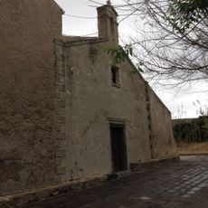
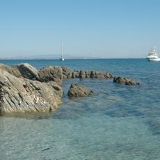
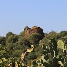
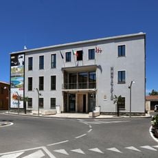
Narbolia, Italian comune
Location: Province of Oristano
Capital city: Narbolia
Elevation above the sea: 57 m
Shares border with: Cuglieri, Riola Sardo, San Vero Milis, Seneghe
Website: http://comune.narbolia.or.it
GPS coordinates: 40.04806,8.57639
Latest update: March 3, 2025 01:03
Giants of Mont'e Prama
14.3 km
Santuario di Nostra Signora di Bonacattu
8.8 km
Cascata a mare di Capu Nieddu
14.6 km
Basilica of St. Mary
8.8 km
Nuraghe S'Urachi
3.7 km
Predas Rujas Waterfalls
9.7 km
Sos Molinos Waterfalls
10.9 km
Chiesa di Santa Sofia
4.5 km
Chiesa di San Paolo
5 km
Maria Assunta
13.7 km
San Sebastiano (Milis)
5.1 km
S'Iscala 'e S'Atentu waterfall
14 km
Oratorio del Rosario
4.8 km
Golf Club Is Arenas
7.8 km
Saint Peter church
394 m
Chiesa di Santa Maria Immacolata
4.7 km
Spiaggia di Sa Capanna
8.3 km
Saint Martin church
6.6 km
Saint Reparata church
351 m
Santo Spirito
13.7 km
Spiaggia Putzu Idu
14.6 km
Torre di Capo Nieddu
15.5 km
Saint Petronilla church
12.1 km
Spiaggia di Santa Caterina
9.6 km
Saint Catherine of Alexandria church
9.5 km
Ponds in the Bay of Oristano and the Sinis Peninsula island of Mal di Ventre
15.2 km
Nuraghe Crabia
9.8 km
Town hall of Cabras
13.7 kmReviews
Visited this place? Tap the stars to rate it and share your experience / photos with the community! Try now! You can cancel it anytime.
Discover hidden gems everywhere you go!
From secret cafés to breathtaking viewpoints, skip the crowded tourist spots and find places that match your style. Our app makes it easy with voice search, smart filtering, route optimization, and insider tips from travelers worldwide. Download now for the complete mobile experience.
A unique approach to discovering new places❞
— Le Figaro
All the places worth exploring❞
— France Info
A tailor-made excursion in just a few clicks❞
— 20 Minutes