
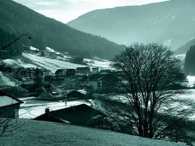
Sarntal, Italian comune
Location: South Tyrol
Capital city: Sarnthein
Elevation above the sea: 973 m
Shares border with: Hafling, Klausen, Mölten, Ritten, Jenesien, Sankt Leonhard in Passeier, Schenna, Vahrn, Villanders, Freienfeld, Franzensfeste, Ratschings, Vöran
Website: http://comune.sarentino.bz.it
GPS coordinates: 46.64299,11.35662
Latest update: May 27, 2025 13:26
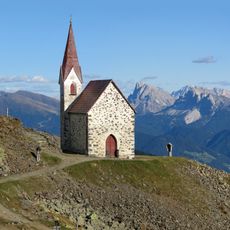
Heiligkreuz auf Ritzlar
12.7 km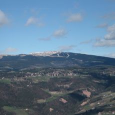
Rittner Horn
8.6 km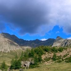
Hirzer
12.1 km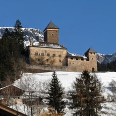
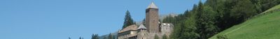
Reinegg Castle
595 m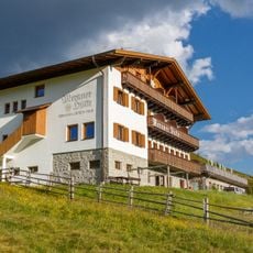
Meraner Hütte
7.3 km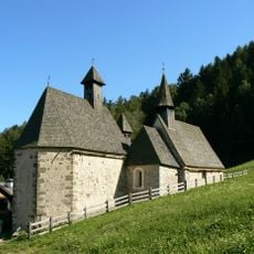
St. Gertraud, St. Nikolaus, St. Magdalena in Dreikirchen
12.1 km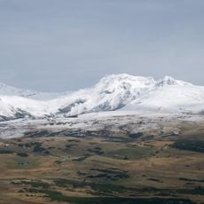
Kassianspitze
13 km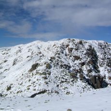
Monte Villandro
5.1 km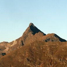
Penser Weißhorn
18 km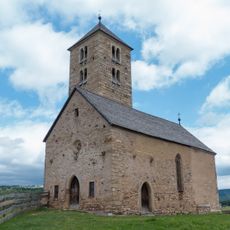
Saint James the Greater church
8.6 km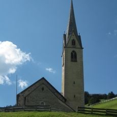
Saint Nicholas church
12.5 km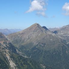
Schrotthorn
15.5 km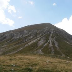
Hochplattspitze
8.6 km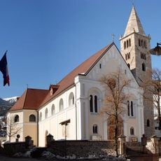
Assumption of Mary
29 m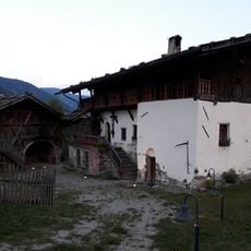
Rohrerhaus
384 m
Plankenhorn
14.5 km
Plankenhorn
11.6 km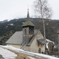
St. Valentine
3.7 km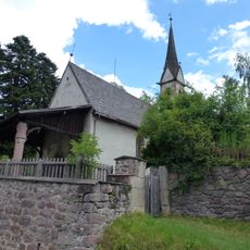
St. Cyprian
168 m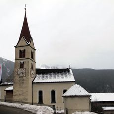
St. Martin
6.9 km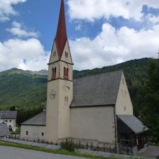
St. Peter and Paul
16 km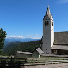
St. Sebastian
7.9 km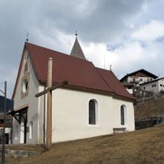
St. Erasmus
2.7 km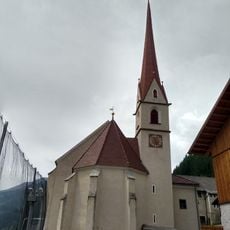
St. Bartholomäus
9.4 km
Kapelle im Bergwerk
11.3 km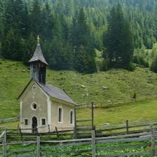
St. Anna in Pfistrad
18.1 km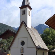
Maria Einsiedeln in der Dick
3.4 km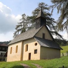
Magdalenenkapelle Kampidell
6.1 kmReviews
Visited this place? Tap the stars to rate it and share your experience / photos with the community! Try now! You can cancel it anytime.
Discover hidden gems everywhere you go!
From secret cafés to breathtaking viewpoints, skip the crowded tourist spots and find places that match your style. Our app makes it easy with voice search, smart filtering, route optimization, and insider tips from travelers worldwide. Download now for the complete mobile experience.

A unique approach to discovering new places❞
— Le Figaro
All the places worth exploring❞
— France Info
A tailor-made excursion in just a few clicks❞
— 20 Minutes