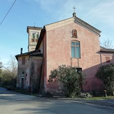
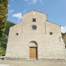
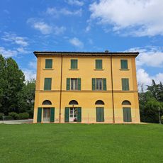
Sasso Marconi, Mountain town in Metropolitan City of Bologna, Italy
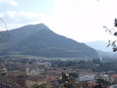
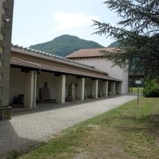
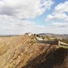
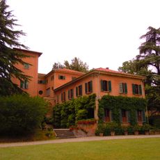
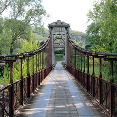
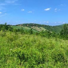
Sasso Marconi is a commune south of Bologna where the landscape transitions from the city's surroundings to hillier terrain. The town consists of several neighborhoods spread across the valley where two rivers meet and merge their courses.
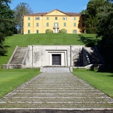
The settlement was originally called Sasso Bolognese until it was renamed in 1938 to honor radio inventor Guglielmo Marconi. This change reflected a moment when local identity became tied to technological achievement and scientific progress.
The settlement carries the legacy of radio innovation in its name and presence, shaping how locals view their community's role in technology history. Walking through the town, this connection to Marconi's work remains woven into conversations and daily life.
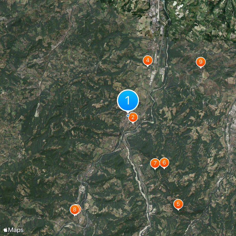
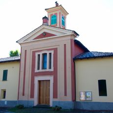
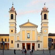
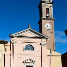
The town is best explored by visiting its different neighborhoods at your own pace, as each district has its own character and layout. Getting around between the various quarters is straightforward using local roads that wind through the valley.
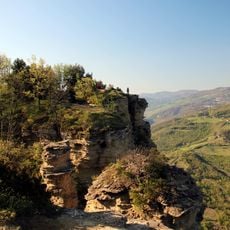
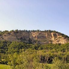
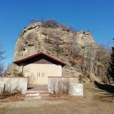
The name comes from an ancient rock formation that stands above where the two rivers meet. This natural landmark gave the settlement its original identity before it became linked to radio history.
Location: Metropolitan City of Bologna
Capital city: Sasso Marconi
Elevation above the sea: 128 m
Shares border with: Casalecchio di Reno, Monte San Pietro, Monzuno, Pianoro, Bologna, Marzabotto, Zola Predosa
Website: https://comune.sassomarconi.bologna.it
GPS coordinates: 44.40000,11.25000
Latest update: December 20, 2025 01:01
Via degli Dei
633 m
Kainua
7.9 km
Villa Griffone
3.8 km
Monte Adone
7.5 km
Riserva naturale Contrafforte Pliocenico
4.5 km
Rocca di Badolo
4.2 km
Museo Nazionale Etrusco "Pompeo Aria"
8 km
Monte Sabbiuno
6.1 km
Marconi Museum
3.8 km
Sacrario ai caduti della Resistenza
5.6 km
Villa Marescalchi
6.6 km
Chiesa di San Michele Arcangelo
8.8 km
Chiesa di San Lorenzo
475 m
Chiesa di San Pietro
680 m
Santo Stefano
3.3 kmMonte Samorrè
5.1 km
Sant'Apollinare Church
7.5 km
Pieve di San Lorenzo di Panico
5.6 kmTorre
7.2 km
Villa Grifone
3.8 kmChiesa di San Martino
2.9 km
Vizzano Bridge
2.5 km
Sacrario ai caduti di Marzabotto
7.4 km
Cavaioni Park
6.4 kmChiesa di Sant'Andrea
5.5 kmEx Chiesa di San Michele Arcangelo
5.7 kmVilla Santa Croce
591 mChiesa di Santa Maria Assunta
8 kmVisited this place? Tap the stars to rate it and share your experience / photos with the community! Try now! You can cancel it anytime.
Discover hidden gems everywhere you go!
From secret cafés to breathtaking viewpoints, skip the crowded tourist spots and find places that match your style. Our app makes it easy with voice search, smart filtering, route optimization, and insider tips from travelers worldwide. Download now for the complete mobile experience.
A unique approach to discovering new places❞
— Le Figaro
All the places worth exploring❞
— France Info
A tailor-made excursion in just a few clicks❞
— 20 Minutes