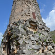
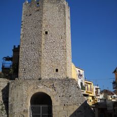
Itri, Medieval commune in Province of Latina, Italy
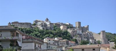
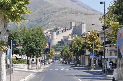
Itri is a commune in the Province of Latina that sits on hillsides around 170 meters above sea level, positioned between Rome and Naples along the ancient Via Appia. The town spreads across the landscape and occupies a strategic point along this historic route.
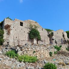
The town suffered heavy damage during World War II when Allied bombing destroyed about 75 percent of its buildings in 1944. Reconstruction efforts followed this devastating period.
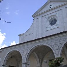
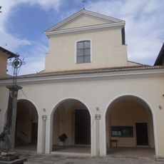
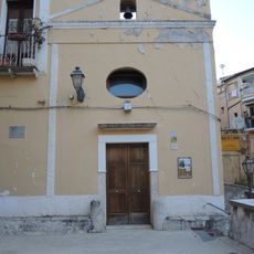
The San Michele Arcangelo church displays design elements from the eleventh century that blend Arabic and Norman influences. Visitors can see today how these different cultural traditions shaped the building's structure and decoration.
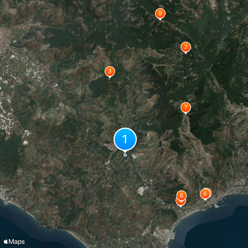
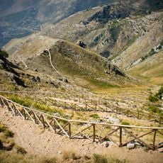
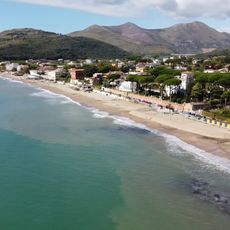
The location offers easy access to both mountain paths and Mediterranean coastline, with trails and beaches reachable by car in around 30 minutes. Visitors can conveniently choose between upland and seaside activities.
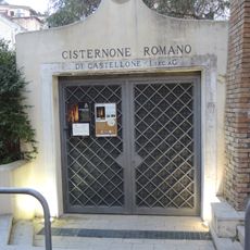
The name comes from the Latin word 'iter', meaning pathway, which marked the town's importance as a crossing point for ancient trade routes. This Latin heritage reflects how long the place has been tied to Roman history.
Location: Province of Latina
Capital city: Itri
Elevation above the sea: 170 m
Shares border with: Fondi, Formia, Gaeta, Sperlonga, Campodimele, Esperia
Website: http://comune.itri.lt.it
GPS coordinates: 41.28333,13.53333
Latest update: December 6, 2025 22:09
Villa of Tiberius
7.9 km
Eremo di San Michele Arcangelo
8.9 km
Parco naturale dei Monti Aurunci
8.2 km
Santuario della Madonna della Civita
5.5 km
Tomb of Cicero
5.2 km
Arenauta
6.8 km
Cisternone Romano
6.3 km
Former Cathedral of St. Erasmus
6.3 km
Former convent of Saint Agatha
6.6 km
Museo Archeologico Nazionale di Formia
6.8 km
Santi Lorenzo e Giovanni Battista
7.1 km
Santa Maria dei Martiri
7.9 km
Sant'Ambrogio
5.5 km
Santissima Annunziata
7.9 km
Torre di Mola
7.3 km
San Rocco
6.4 km
Museum of Banditry
1.1 km
Torre del Castellone
6.3 km
San Luca
7.8 km
Santa Teresa
6.7 km
Santa Maria Assunta in Cielo chuch
8.6 km
Sant'Anna
6.4 km
Monte Fragoloso
8.8 km
Castello Caetani
666 m
Spiaggia delle Bambole
6.8 km
San Giuseppe Lavoratore
7.2 km
Chiesa di San Michele Arcangelo
664 m
Town hall in Sperlonga
8.6 kmReviews
Visited this place? Tap the stars to rate it and share your experience / photos with the community! Try now! You can cancel it anytime.
Discover hidden gems everywhere you go!
From secret cafés to breathtaking viewpoints, skip the crowded tourist spots and find places that match your style. Our app makes it easy with voice search, smart filtering, route optimization, and insider tips from travelers worldwide. Download now for the complete mobile experience.
A unique approach to discovering new places❞
— Le Figaro
All the places worth exploring❞
— France Info
A tailor-made excursion in just a few clicks❞
— 20 Minutes