Santa Sofia, Italian comune
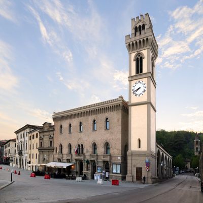
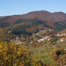
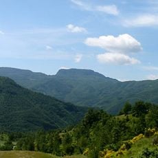
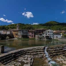
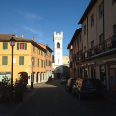
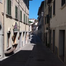
Santa Sofia is a commune in the province of Forlì-Cesena, in the Romagna area of northern Italy, set among the hills of the Apennines. The municipal territory covers the main town center along with several smaller villages scattered across the surrounding hills and valleys.
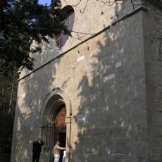
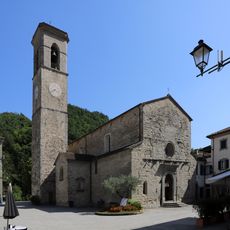
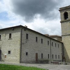
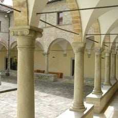
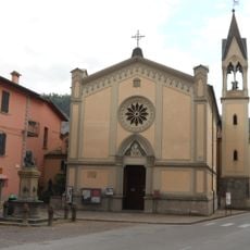
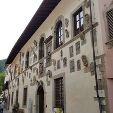
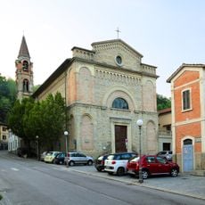
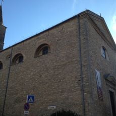
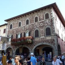
The area around Santa Sofia was long controlled by the archbishops of Ravenna before passing to Florence in the 1400s. That shift in power shaped the way the territory was governed and left traces that can still be noticed in some of the older buildings in the main town.
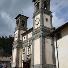
The name Santa Sofia refers to a saint, but the town's patron is Santa Lucia, celebrated on December 13 with processions and traditional local foods. Visitors who happen to be there on that day can see how the community gathers around shared customs that have been passed down for generations.
Santa Sofia is most comfortably reached by car, as the roads through the Apennines are winding and public connections are limited. Drivers coming from Forlì or Cesena will follow well-signed routes that pass through valleys and hills, making the journey itself part of the experience.
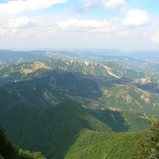
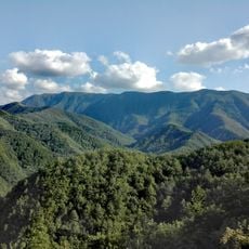
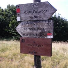
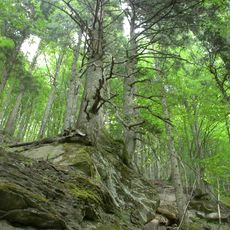
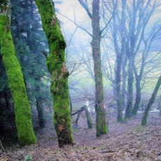
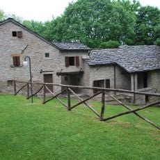
The municipal territory borders the Foreste Casentinesi national park, one of Italy's oldest protected forests, where monastic communities managed the woodlands for centuries before any modern conservation law existed. Hikers walking through those trees today are crossing land that has been shaped by human care for over 800 years.
The community of curious travelers
AroundUs brings together thousands of curated places, local tips, and hidden gems, enriched daily by 60,000 contributors worldwide.