
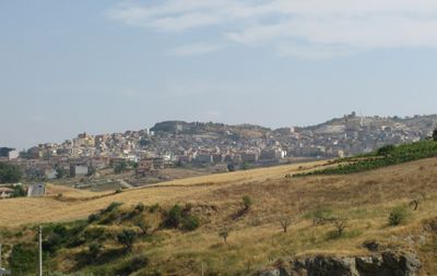
Santa Elisabetta, Italian comune
Location: Free municipal consortium of Agrigento
Capital city: Santa Elisabetta
Elevation above the sea: 457 m
Shares border with: Aragona, Joppolo Giancaxio, Raffadali, Sant'Angelo Muxaro
Website: https://comunesantaelisabetta.it
GPS coordinates: 37.43583,13.55778
Latest update: March 9, 2025 14:33
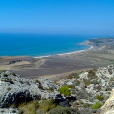
Riserva naturale orientata Torre Salsa
16.2 km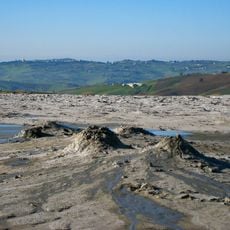
Macalube
7.6 km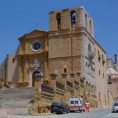
Agrigento Cathedral
13.6 km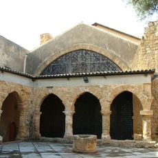
Museo Archeologico
15.7 km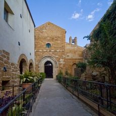
Santa Maria dei Greci
13.8 km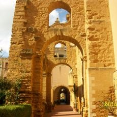
Monastery of Santo Spirito (Agrigento)
14 km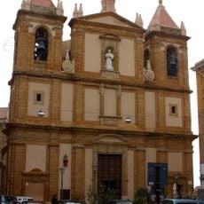
Basilica dell’Immacolata
14.2 km
Biblioteca Lucchesiana
13.7 km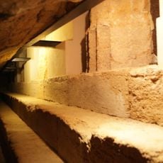
Temple of Athena
13.8 km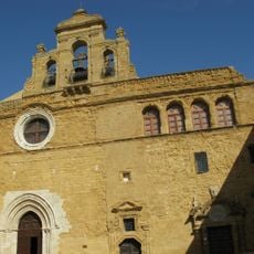
Church of Santo Spirito
14 km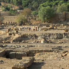
Tempio di Iside
15.6 km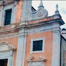
Chiesa di Santa Oliva
4.2 km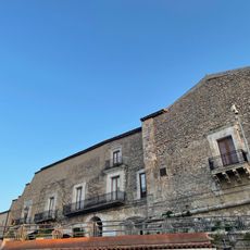
Castello di Raffadali
4.1 km
Santuario dell'Addolorata
13.7 km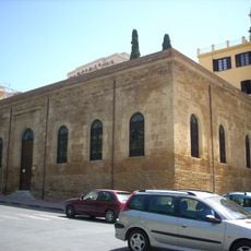
Biblioteca Comunale Franco La Rocca
14.3 km
Necropoli Millaga
15.5 km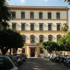
Palazzo della Provincia e Prefettura
14.2 km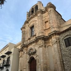
Chiesa di San Giuseppe
4.2 km
Unione dei comuni Platani-Quisquina-Magazzolo
14.5 km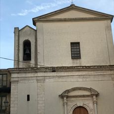
Chiesa di Santa Maria del Rosario
4.1 km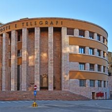
Palazzo delle Poste
14.1 km
Porta Di Ponte
14.2 km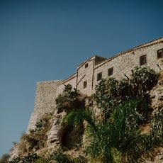
Castello di Siculiana
16.4 km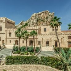
Joppolo Castle
5.5 km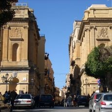
Porta di Ponte
14.2 km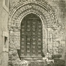
San Giorgio
13.8 km
Villa aurea
14 km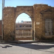
Porta Panitteri
14.1 kmReviews
Visited this place? Tap the stars to rate it and share your experience / photos with the community! Try now! You can cancel it anytime.
Discover hidden gems everywhere you go!
From secret cafés to breathtaking viewpoints, skip the crowded tourist spots and find places that match your style. Our app makes it easy with voice search, smart filtering, route optimization, and insider tips from travelers worldwide. Download now for the complete mobile experience.

A unique approach to discovering new places❞
— Le Figaro
All the places worth exploring❞
— France Info
A tailor-made excursion in just a few clicks❞
— 20 Minutes