Enable Location

We need your location to show you interesting places around you

Discover nearby places

Find interesting locations and hidden gems around you

Precise directions

Get accurate directions and distances to places

Your location is never shared with other users. It's only used when you tap the location button.

Innichen

Log in to your account

Start exploring — it's free

Trusted by 61,769 travelers worldwide

Continue with Google
Continue with Apple
or

We will send you a code to connect

By continuing, you accept our Terms and Conditions and our Privacy Policy

Check your inbox

We've sent a pincode in your inbox. Please enter the code below.

Innichen, Mountain commune in South Tyrol, Italy

Description

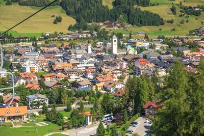
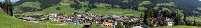
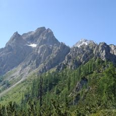
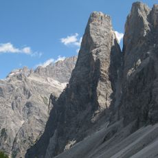
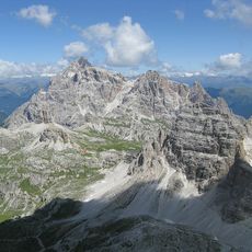
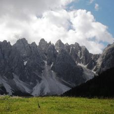
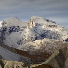
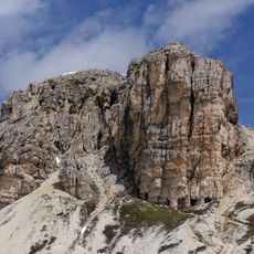
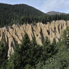
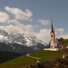
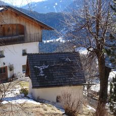
Innichen sits in the eastern Puster Valley at an elevation of 1,175 meters (3,855 feet), surrounded by the Sexten Dolomites to the south and gentler slopes to the north. The commune spreads along the upper Drava Valley, where the river begins and runs through a wide basin.

History

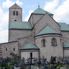
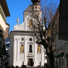
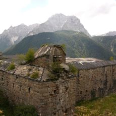
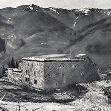
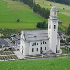
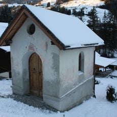
Duke Tassilo III of Bavaria founded a Benedictine abbey here in 769, shaping the valley and spreading Christianity throughout the region. The monastery remained under Freising bishops until 1803, when it lost its religious role during secularization.

Culture

The name comes from the Celtic word 'Alcimum,' which locals still use in its original Latin form. Residents move between German and Italian daily, reflecting the town's position along a former linguistic and political border.

Practical

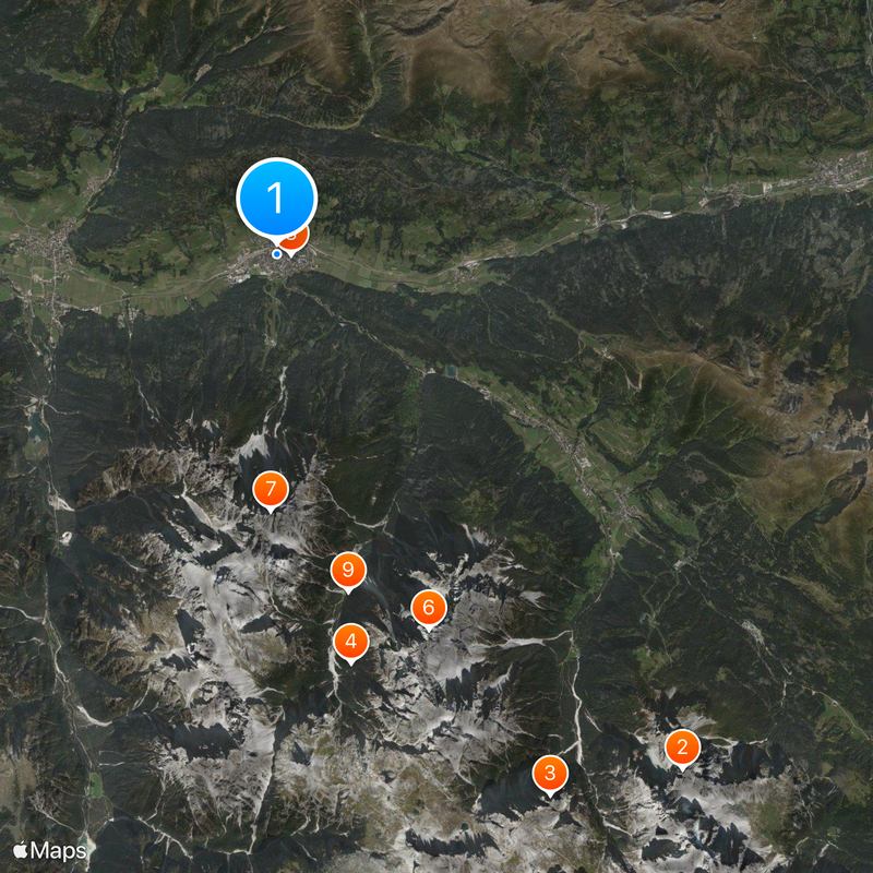
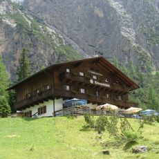
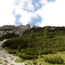
The commune lies on the railway line between Italy and Austria, offering direct connections in both directions. Hiking trails start right in town and lead to different elevations, from flat valley routes to steep mountain paths.

Did you know?

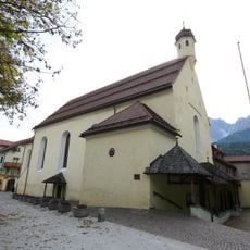
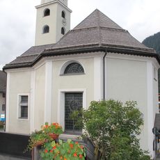
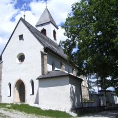
The collegiate church houses Romanesque frescoes from the 13th century, showing biblical scenes in bright colors. The freestanding bell tower next to the church originally served as a defensive tower.

Location
Elevation above the sea
1,175 m
Shares border with
Toblach, Sexten, Innervillgraten, Sillian
GPS coordinates
46.73287,12.27917
Latest update
December 15, 2025 05:41

AroundUs brings together thousands of curated places, local tips, and hidden gems, enriched daily by 60,000 contributors worldwide. Discover all places nearby (South Tyrol).

« Innichen - Mountain commune in South Tyrol, Italy » is provided by Around Us (aroundus.com). Images and texts are derived from Wikimedia project under a Creative Commons license. You are allowed to copy, distribute, and modify copies of this page, under the conditions set by the license, as long as this note is clearly visible.

Discover hidden gems everywhere you go!

From secret cafés to breathtaking viewpoints, skip the crowded tourist spots and find places that match your style. Our app makes it easy with voice search, smart filtering, route optimization, and insider tips from travelers worldwide. Download now for the complete mobile experience.

Around Us App Screenshot

A unique approach to discovering new places

Le Figaro

All the places worth exploring

France Info

A tailor-made excursion in just a few clicks

20 Minutes

Around Us
Travel Guide & Maps
Download

Send to your phone

QR Code
1

Open the camera app on your mobile.

2

Point at the QR code with your camera. A notification will appear.

3

Tap the notification to open the link.