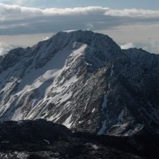
Roteck, Mountain peak in Gruppo di Tessa, Italy.
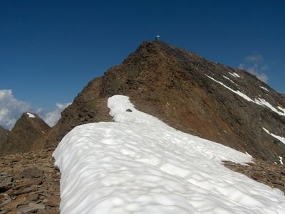
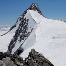
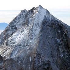
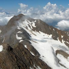
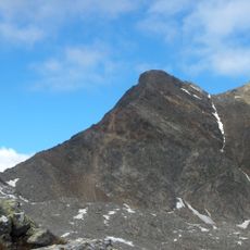
Monte Rosso is a mountain peak in the Gruppo di Tessa with an elevation of 3,337 meters and multiple routes that guide climbers through the eastern ridge. The terrain combines standard mountain trails with secured passages and snow fields that vary in condition depending on the season.
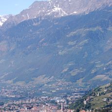
The summit received a cross in 1978 and served as a landmark for residents of Val di Fosse under the name Cima Dieci. This name shows the historical connection between the mountain and the people who lived in the valleys below.
The mountain goes by two names: Monte Rosso in Italian and Roteck in German, reflecting the linguistic diversity of South Tyrol. This dual naming is common throughout the region and shows how different language communities call the same place by different words.
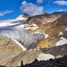
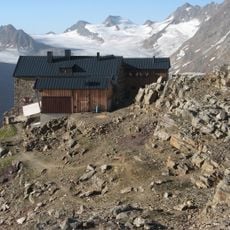
The hike can start from Rifugio Cima Fiammante or Rifugio Lodner, with two main routes offering different durations and difficulty levels. Route 9 from Rifugio Lodner passes through secured passages and is recommended for those with climbing experience.
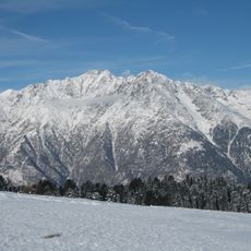
The snow coverage on the summit and higher passages changes significantly throughout the season, altering the route difficulty and requiring different equipment. Many visitors underestimate these seasonal variations and misjudge their preparation.
The community of curious travelers
AroundUs brings together thousands of curated places, local tips, and hidden gems, enriched daily by 60,000 contributors worldwide.